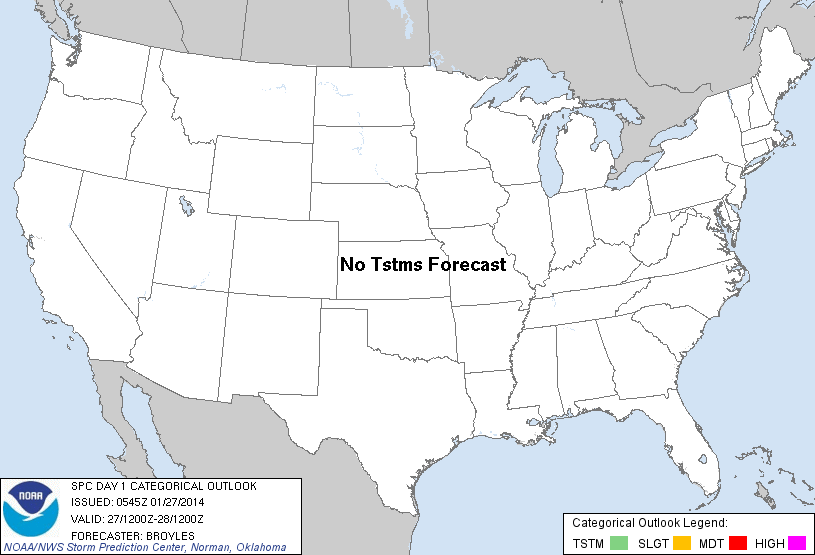
| Categorical Graphic | |||||||||
|---|---|---|---|---|---|---|---|---|---|
|
|||||||||
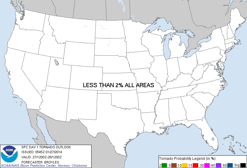
| Probabilistic Tornado Graphic | |||||||||
 |
|||||||||
| Probability of a tornado within 25 miles of a point. Hatched Area: 10% or greater probability of EF2 - EF5 tornadoes within 25 miles of a point. |
|||||||||
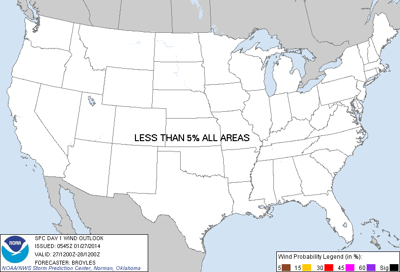
| Probabilistic Damaging Wind Graphic | |||||||||
 |
|||||||||
| Probability of damaging thunderstorm winds or wind gusts of 50 knots or higher within 25 miles of a point. Hatched Area: 10% of greater probability of wind gusts 65 knots or greater within 25 miles of a point. |
|||||||||
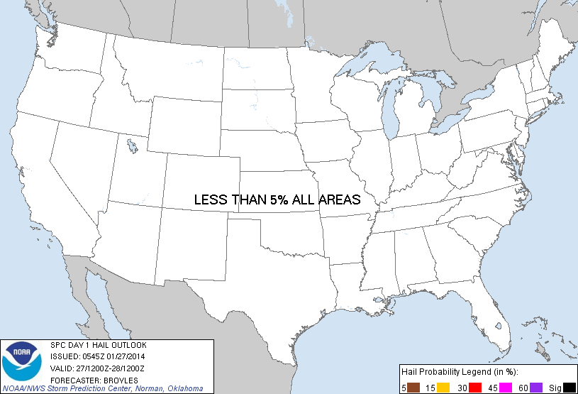
| Probabilistic Large Hail Graphic | |||||||||
 |
|||||||||
| Probability of hail 1" or larger within 25 miles of a point. Hatched Area: 10% or greater probability of hail 2" or larger within 25 miles of a point. |
|||||||||
| |||||||||
SPC AC 270545 DAY 1 CONVECTIVE OUTLOOK NWS STORM PREDICTION CENTER NORMAN OK 1145 PM CST SUN JAN 26 2014 VALID 271200Z - 281200Z ...NO TSTM AREAS FORECAST... A SHORTWAVE TROUGH WILL MOVE ACROSS THE GREAT LAKES REGION TODAY WITH THIS FEATURE EMBEDDED IN A LONG WAVE TROUGH OVER THE CNTRL AND ERN CONUS. AT THE SFC...A STRONG COLD FRONT WILL MOVE EWD OUT OF THE APPALACHIAN MTNS TO THE ERN SEABOARD BY LATE AFTERNOON. FURTHER TO THE SOUTHWEST...THE FRONT WILL ADVANCE QUICKLY SEWD ACROSS THE GULF COAST STATES BY LATE AFTERNOON. SHOWERS MAY DEVELOP ALONG THE FRONT FROM SRN LA EWD TO THE FL PANHANDLE IN THE LATE AFTERNOON AND EARLY EVENING. INSTABILITY WILL REMAIN VERY WEAK ALONG THE FRONT AND THUNDERSTORM DEVELOPMENT IS NOT EXPECTED IN THE GULF COAST REGION TODAY OR TONIGHT. ..BROYLES.. 01/27/2014 CLICK TO GET WUUS01 PTSDY1 PRODUCT NOTE: THE NEXT DAY 1 OUTLOOK IS SCHEDULED BY 1300Z |
|||||||||