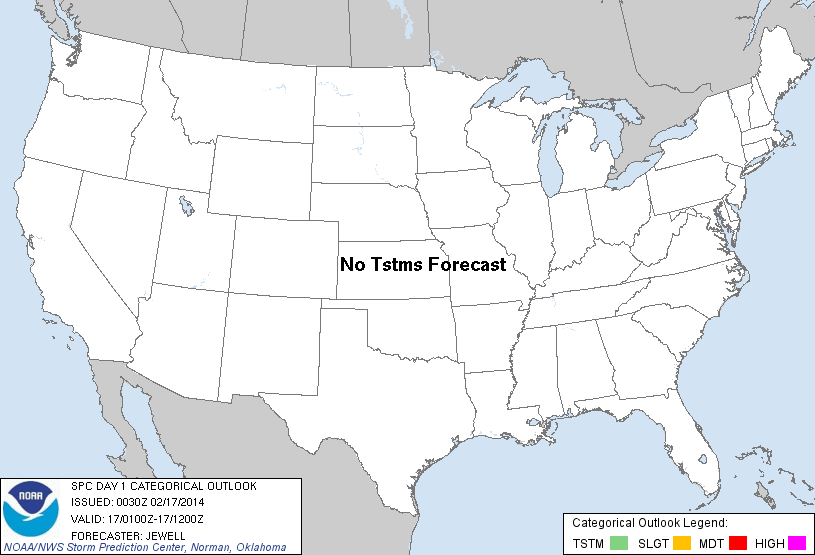
| Categorical Graphic | |||||||||
|---|---|---|---|---|---|---|---|---|---|
|
|||||||||
| Probabilistic Tornado Graphic | |||||||||
 |
|||||||||
| Probability of a tornado within 25 miles of a point. Hatched Area: 10% or greater probability of EF2 - EF5 tornadoes within 25 miles of a point. |
|||||||||
| Probabilistic Damaging Wind Graphic | |||||||||
 |
|||||||||
| Probability of damaging thunderstorm winds or wind gusts of 50 knots or higher within 25 miles of a point. Hatched Area: 10% of greater probability of wind gusts 65 knots or greater within 25 miles of a point. |
|||||||||
| Probabilistic Large Hail Graphic | |||||||||
 |
|||||||||
| Probability of hail 1" or larger within 25 miles of a point. Hatched Area: 10% or greater probability of hail 2" or larger within 25 miles of a point. |
|||||||||
| |||||||||
SPC AC 170030 DAY 1 CONVECTIVE OUTLOOK NWS STORM PREDICTION CENTER NORMAN OK 0630 PM CST SUN FEB 16 2014 VALID 170100Z - 171200Z ...NO TSTM AREAS FORECAST... ...SERN WY INTO NERN CO AND FAR WRN NEB THIS EVENING... A POTENT SHORTWAVE TROUGH CONTINUES TO INTERACT WITH A STEEP LAPSE RATE ENVIRONMENT OVER SRN WY AND NRN CO TO PRODUCE ISOLATED WEAK THUNDERSTORMS ALONG A DEEP TROPOSPHERIC FRONTAL ZONE. AS FORCING FOR ASCENT CONTINUES EWD OVER THE NEXT FEW HOURS...AN ABRUPT END TO THE STORMS IS EXPECTED AS THEY RAPIDLY ENCOUNTER A MORE STABLE AIR MASS DOWNSTREAM. ..JEWELL.. 02/17/2014 CLICK TO GET WUUS01 PTSDY1 PRODUCT NOTE: THE NEXT DAY 1 OUTLOOK IS SCHEDULED BY 0600Z |
|||||||||