Probability of a tornado within 25 miles of a point. Hatched Area: 10% or greater probability of EF2 - EF5 tornadoes within 25 miles of a point.
Tornado Risk
Area (sq. mi.)
Area Pop.
Some Larger Population Centers in Risk Area
No Risk Areas Forecast
Probabilistic Damaging Wind Graphic
Probability of damaging thunderstorm winds or wind gusts of 50 knots or higher within 25 miles of a point. Hatched Area: 10% of greater probability of wind gusts 65 knots or greater within 25 miles of a point.
Wind Risk
Area (sq. mi.)
Area Pop.
Some Larger Population Centers in Risk Area
No Risk Areas Forecast
Probabilistic Large Hail Graphic
Probability of hail 1" or larger within 25 miles of a point. Hatched Area: 10% or greater probability of hail 2" or larger within 25 miles of a point.
Hail Risk
Area (sq. mi.)
Area Pop.
Some Larger Population Centers in Risk Area
No Risk Areas Forecast
SPC AC 081949
DAY 1 CONVECTIVE OUTLOOK
NWS STORM PREDICTION CENTER NORMAN OK
0149 PM CST SAT NOV 08 2014
VALID 082000Z - 091200Z
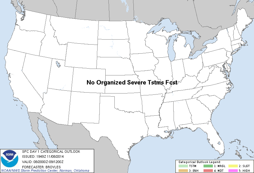
...NO TSTM AREAS FORECAST...
...SUMMARY...
THUNDERSTORMS ARE NOT EXPECTED THROUGH TONIGHT.
NO CHANGES ARE MADE TO THE OUTLOOK FOR THIS ISSUANCE.
..BROYLES.. 11/08/2014
.PREV DISCUSSION... /ISSUED 1016 AM CST SAT NOV 08 2014/
QUIET WEATHER WILL CONTINUE ACROSS THE CONUS TODAY...WITH NO
ORGANIZED THUNDERSTORM AREAS EXPECTED. SCATTERED SHOWERS AND
OCCASIONAL LIGHTNING STRIKES WILL OCCUR IN AND NEAR THE SOUTH FL
PENINSULA THIS AFTERNOON AND TONIGHT. HOWEVER...THE RISK APPEARS
TOO LOW TO WARRANT 10 PERCENT PROBABILITIES AT THIS TIME.
CLICK TO GET WUUS01 PTSDY1 PRODUCT
NOTE: THE NEXT DAY 1 OUTLOOK IS SCHEDULED BY 0100Z