Probability of a tornado within 25 miles of a point. Hatched Area: 10% or greater probability of EF2 - EF5 tornadoes within 25 miles of a point.
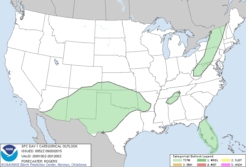
Day 1 Tornado Risk
Area (sq. mi.)
Area Pop.
Some Larger Population Centers in Risk Area
No Risk Areas Forecast
Probabilistic Damaging Wind Graphic
Probability of damaging thunderstorm winds or wind gusts of 50 knots or higher within 25 miles of a point. Hatched Area: 10% of greater probability of wind gusts 65 knots or greater within 25 miles of a point.
Day 1 Wind Risk
Area (sq. mi.)
Area Pop.
Some Larger Population Centers in Risk Area
No Risk Areas Forecast
Probabilistic Large Hail Graphic
Probability of hail 1" or larger within 25 miles of a point. Hatched Area: 10% or greater probability of hail 2" or larger within 25 miles of a point.
Day 1 Hail Risk
Area (sq. mi.)
Area Pop.
Some Larger Population Centers in Risk Area
No Risk Areas Forecast
   SPC AC 200052

   DAY 1 CONVECTIVE OUTLOOK
   NWS STORM PREDICTION CENTER NORMAN OK
   0752 PM CDT SAT SEP 19 2015

   VALID 200100Z - 201200Z

   ...NO SVR TSTM AREAS FORECAST...

   ...SUMMARY...
   ORGANIZED SEVERE THUNDERSTORMS ARE NOT EXPECTED TONIGHT.

   ...SYNOPSIS...
   CONVECTION ASSOCIATED WITH AN EWD-MOVING COLD FRONT EXTENDING FROM
   THE LOWER GREAT LAKES INTO THE CENTRAL APPALACHIAN MTNS HAS
   EXHIBITED A WEAKENING TREND THIS EVENING...WITH THE LOSS OF DIABATIC
   HEATING CONTRIBUTING TO REDUCED BUOYANCY ACROSS THE REGION.
   ELSEWHERE...ELEVATED THUNDERSTORMS ARE EXPECTED TO DEVELOP ACROSS
   PARTS OF THE SRN PLAINS OVERNIGHT...BUT MARGINAL INSTABILITY WILL
   PRECLUDE AN ACCOMPANYING SVR THREAT WITH THIS ACTIVITY.

   ..ROGERS.. 09/20/2015

   CLICK TO GET WUUS01 PTSDY1 PRODUCT

   NOTE: THE NEXT DAY 1 OUTLOOK IS SCHEDULED BY 0600Z