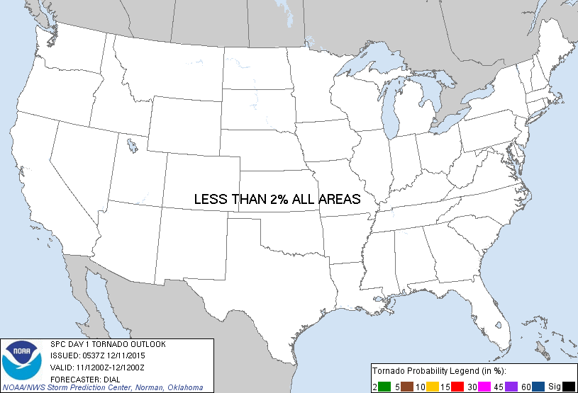
Probability of a tornado within 25 miles of a point. Hatched Area: 10% or greater probability of EF2 - EF5 tornadoes within 25 miles of a point.
Day 1 Tornado Risk
Area (sq. mi.)
Area Pop.
Some Larger Population Centers in Risk Area
No Risk Areas Forecast
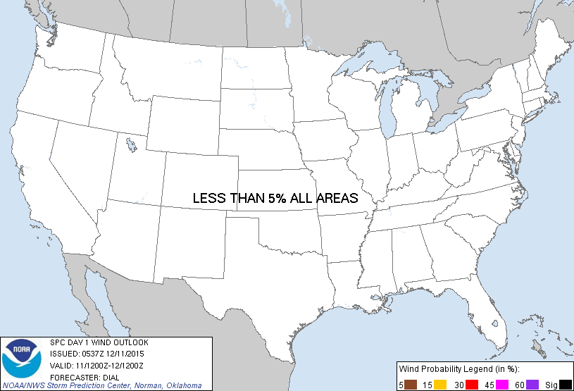
Probabilistic Damaging Wind Graphic
Probability of damaging thunderstorm winds or wind gusts of 50 knots or higher within 25 miles of a point. Hatched Area: 10% of greater probability of wind gusts 65 knots or greater within 25 miles of a point.
Day 1 Wind Risk
Area (sq. mi.)
Area Pop.
Some Larger Population Centers in Risk Area
No Risk Areas Forecast
Probabilistic Large Hail Graphic
Probability of hail 1" or larger within 25 miles of a point. Hatched Area: 10% or greater probability of hail 2" or larger within 25 miles of a point.
Day 1 Hail Risk
Area (sq. mi.)
Area Pop.
Some Larger Population Centers in Risk Area
No Risk Areas Forecast
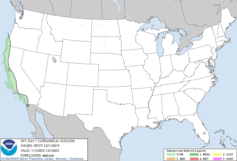
   SPC AC 110537

   DAY 1 CONVECTIVE OUTLOOK
   NWS STORM PREDICTION CENTER NORMAN OK
   1137 PM CST THU DEC 10 2015

   VALID 111200Z - 121200Z

   ...NO SVR TSTM AREAS FORECAST...

   ...SUMMARY...
   A FEW THUNDERSTORMS WILL BE POSSIBLE MAINLY ACROSS COASTAL REGIONS
   OF CALIFORNIA AND SOUTHWEST OREGON.

   ...SWRN OREGON THROUGH COASTAL CA...

   STEEPER LAPSE RATES AND COLD AIR ALOFT WILL GRADUALLY DEVELOP SWD
   THROUGH CA DURING THE DAY IN ASSOCIATION WITH SEWD AMPLIFYING UPPER
   TROUGH. THUNDERSTORM PROSPECTS WILL BE GREATEST ALONG COASTAL AREAS
   WHERE INFLUENCE OF MARINE LAYER WILL RESULT IN GREATER INSTABILITY.
   GIVEN THE VERY COLD AIR ALOFT WITH -25 TO -30C AT 500 MB...SOME OF
   THIS ACTIVITY COULD PRODUCE SMALL HAIL.

   ..DIAL/COOK.. 12/11/2015

   CLICK TO GET WUUS01 PTSDY1 PRODUCT

   NOTE: THE NEXT DAY 1 OUTLOOK IS SCHEDULED BY 1300Z