Probability of a tornado within 25 miles of a point. Hatched Area: 10% or greater probability of EF2 - EF5 tornadoes within 25 miles of a point.
Day 1 Tornado Risk
Area (sq. mi.)
Area Pop.
Some Larger Population Centers in Risk Area
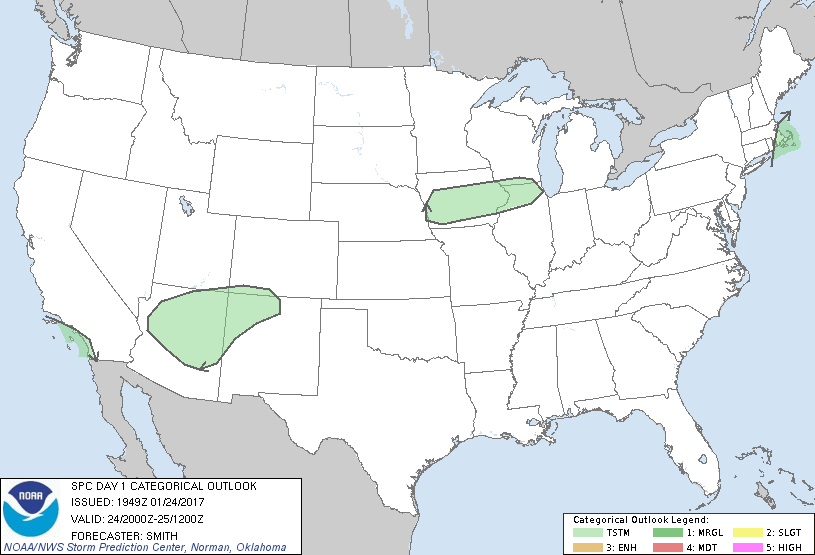
No Risk Areas Forecast
Probabilistic Damaging Wind Graphic
Probability of damaging thunderstorm winds or wind gusts of 50 knots or higher within 25 miles of a point. Hatched Area: 10% of greater probability of wind gusts 65 knots or greater within 25 miles of a point.
Day 1 Wind Risk
Area (sq. mi.)
Area Pop.
Some Larger Population Centers in Risk Area
No Risk Areas Forecast
Probabilistic Large Hail Graphic
Probability of hail 1" or larger within 25 miles of a point. Hatched Area: 10% or greater probability of hail 2" or larger within 25 miles of a point.
Day 1 Hail Risk
Area (sq. mi.)
Area Pop.
Some Larger Population Centers in Risk Area
No Risk Areas Forecast
   SPC AC 241949

   Day 1 Convective Outlook
   NWS Storm Prediction Center Norman OK
   0149 PM CST Tue Jan 24 2017

   Valid 242000Z - 251200Z

   ...NO SEVERE THUNDERSTORM AREAS FORECAST...

   ...SUMMARY...
   Organized severe thunderstorms are not forecast across the Lower 48
   states today.

   No changes are needed to the previous forecast.

   ..Smith.. 01/24/2017

   .PREV DISCUSSION... /ISSUED 1022 AM CST Tue Jan 24 2017/

   No significant changes have been made to the ongoing forecast.  It
   remains possible for scattered thunderstorms to occur today along
   the southern CA coast, the Four Corners area, parts of the upper MS
   valley, and eastern MA.  Relatively weak instability and moisture in
   each of these regions should preclude severe storms.  Please refer
   to the previous outlook for a more thorough discussion on the
   thunderstorm potential.

   CLICK TO GET WUUS01 PTSDY1 PRODUCT

   NOTE: THE NEXT DAY 1 OUTLOOK IS SCHEDULED BY 0100Z