Probability of a tornado within 25 miles of a point. Hatched Area: 10% or greater probability of EF2 - EF5 tornadoes within 25 miles of a point.
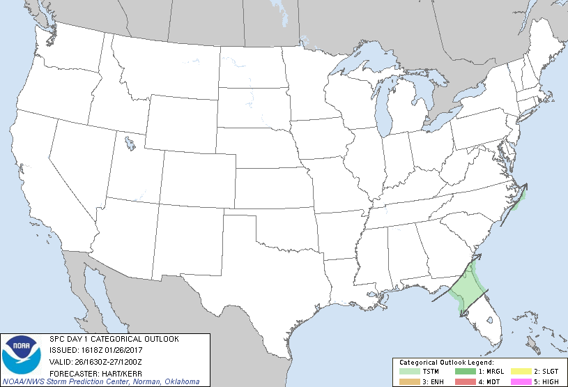
Day 1 Tornado Risk
Area (sq. mi.)
Area Pop.
Some Larger Population Centers in Risk Area
No Risk Areas Forecast
Probabilistic Damaging Wind Graphic
Probability of damaging thunderstorm winds or wind gusts of 50 knots or higher within 25 miles of a point. Hatched Area: 10% of greater probability of wind gusts 65 knots or greater within 25 miles of a point.
Day 1 Wind Risk
Area (sq. mi.)
Area Pop.
Some Larger Population Centers in Risk Area
No Risk Areas Forecast
Probabilistic Large Hail Graphic
Probability of hail 1" or larger within 25 miles of a point. Hatched Area: 10% or greater probability of hail 2" or larger within 25 miles of a point.
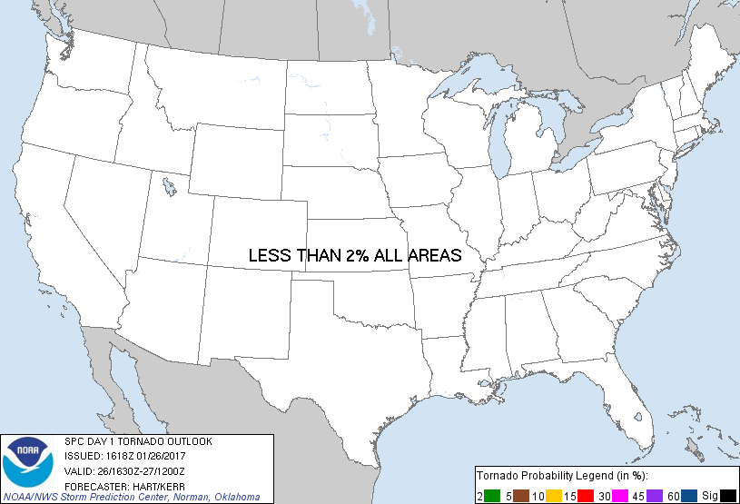
Day 1 Hail Risk
Area (sq. mi.)
Area Pop.
Some Larger Population Centers in Risk Area
No Risk Areas Forecast
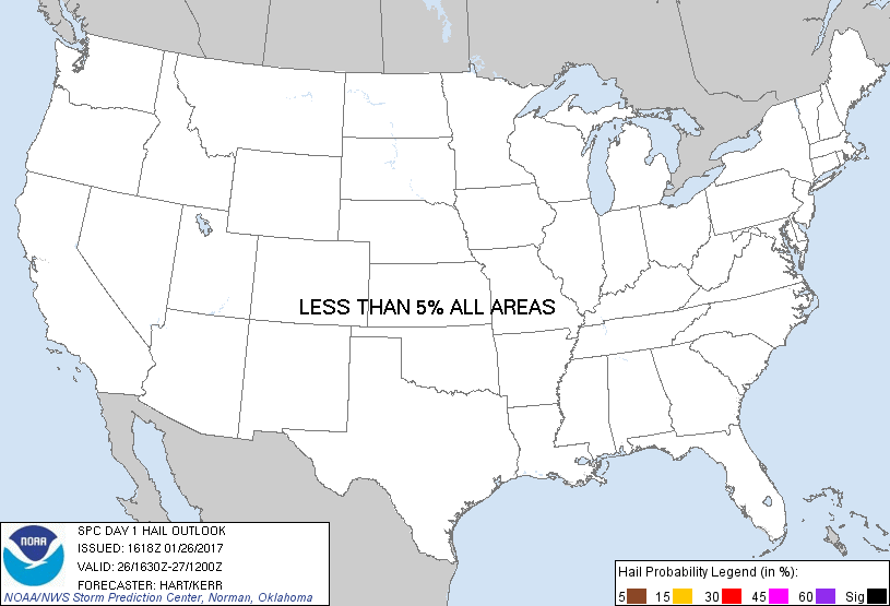
   SPC AC 261618

   Day 1 Convective Outlook
   NWS Storm Prediction Center Norman OK
   1018 AM CST Thu Jan 26 2017

   Valid 261630Z - 271200Z

   ...NO SEVERE THUNDERSTORM AREAS FORECAST...

   ...SUMMARY...
   Isolated thunderstorms may affect portions of eastern Georgia/South
   Carolina/Georgia and northern Florida today.

   ...Southeast Coast...
   A broad surface ridge is present today over the western and central
   United States, while a cold front sweeps southeastward toward the
   Carolinas and FL.  Moist and marginally unstable air is in place
   ahead of the front from the FL Peninsula into eastern GA/SC/NC.
   Scattered showers and a few thunderstorms are expected in parts of
   this corridor this afternoon before moving offshore tonight.  No
   severe storms are expected.

   Elsewhere across the CONUS, relatively dry and stable conditions
   will preclude organized thunderstorms today.

   ..Hart/Kerr.. 01/26/2017

   CLICK TO GET WUUS01 PTSDY1 PRODUCT

   NOTE: THE NEXT DAY 1 OUTLOOK IS SCHEDULED BY 2000Z