   SPC AC 031225

   Day 1 Convective Outlook
   NWS Storm Prediction Center Norman OK
   0625 AM CST Fri Mar 03 2017

   Valid 031300Z - 041200Z

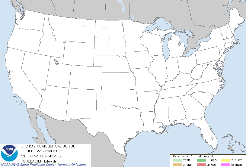
   ...NO THUNDERSTORM AREAS FORECAST...

   ...SUMMARY...
   No thunderstorms are forecast across the contiguous United States.

   ...Synopsis...
   A highly amplified, yet progressive, upper-air pattern will continue
   through this period.  One synoptic-scale trough was located from a
   cyclone over James Bay southward across southern ON, the central/
   southern Appalachians and GA, and is forecast to move mostly
   offshore from the Atlantic Coast by 12Z, when the parent 500-mb low
   will have migrated to Maine.  The associated surface cold front has
   cleared FL and much of the Gulf of Mexico.  Low theta-e in the
   post-frontal, continental-polar low-level air mass will preclude
   thunderstorm potential from the Rockies eastward.

   Upper ridging will move eastward from the Rockies across the
   central/northern Plains, as a northeastern Pacific trough digs
   southeastward from the eastern Gulf of AK.  Although the main trough
   will stay offshore until after this period, a couple of leading,
   smaller-scale shortwave troughs and associated vorticity maxima may
   cross the WA coast overnight.  Accompanying large-scale DCVA/ascent
   and steepening of low/middle-level lapse rates may contribute to
   shallow CAPE along the coast overnight, atop the marine air.
   Forecast soundings suggest very weak buoyancy may extend into
   midlevel temps colder than -20 C.  As such, isolated lightning
   cannot be ruled out, but the potential appears too conditional and
   sparse for a general-thunder area at this time.

   Meanwhile, a complex, broad, southern-stream perturbation -- now
   evident in moisture-channel imagery offshore from southern CA and
   southward over the Pacific -- should weaken and move across both
   Baja and parts of Sonora.  This will occur as heights fall over much
   of the Pacific coast, ahead of the aforementioned northern-stream
   trough.  Moisture and instability should remain too feeble for
   thunderstorms.

   ..Edwards.. 03/03/2017

   CLICK TO GET WUUS01 PTSDY1 PRODUCT

   NOTE: THE NEXT DAY 1 OUTLOOK IS SCHEDULED BY 1630Z
|


