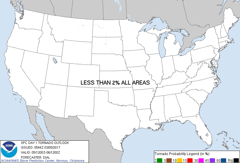
Probability of a tornado within 25 miles of a point. Hatched Area: 10% or greater probability of EF2 - EF5 tornadoes within 25 miles of a point.
Day 1 Tornado Risk
Area (sq. mi.)
Area Pop.
Some Larger Population Centers in Risk Area
No Risk Areas Forecast
Probabilistic Damaging Wind Graphic
Probability of damaging thunderstorm winds or wind gusts of 50 knots or higher within 25 miles of a point. Hatched Area: 10% of greater probability of wind gusts 65 knots or greater within 25 miles of a point.
Day 1 Wind Risk
Area (sq. mi.)
Area Pop.
Some Larger Population Centers in Risk Area
No Risk Areas Forecast
Probabilistic Large Hail Graphic
Probability of hail 1" or larger within 25 miles of a point. Hatched Area: 10% or greater probability of hail 2" or larger within 25 miles of a point.
Day 1 Hail Risk
Area (sq. mi.)
Area Pop.
Some Larger Population Centers in Risk Area
No Risk Areas Forecast
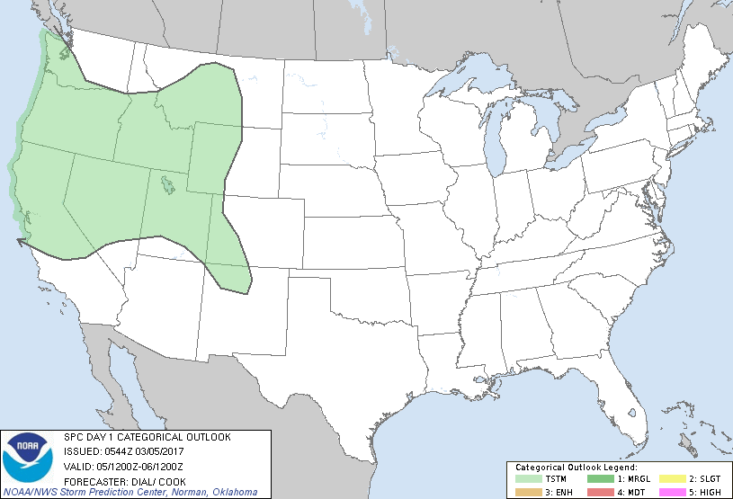
   SPC AC 050544

   Day 1 Convective Outlook
   NWS Storm Prediction Center Norman OK
   1144 PM CST Sat Mar 04 2017

   Valid 051200Z - 061200Z

   ...NO SEVERE THUNDERSTORM AREAS FORECAST...

   ...SUMMARY...
   Isolated thunderstorms may occur Sunday over a portion of the
   western states. A few locally strong wind gusts might accompany
   thunderstorms over Utah during the afternoon.

   ...Western States...

   Upper trough approaching the Pacific Northwest coast will continue
   inland into the Great Basin area during the afternoon accompanied by
   a cold front. Cold air aloft attending the upper trough and diabatic
   warming of the surface layer will promote steep lapse rates, but
   instability will remain very weak due to limited low-level moisture.
   Inverted-V boundary layers will evolve over a portion of the
   pre-frontal warm sector across the Great Basin where strong
   southwesterly deep-layer winds will exist. Convection developing
   along or just ahead of the cold front would have potential to
   augment downward momentum transport with some risk for locally
   strong to damaging wind gusts. However, current indications are that
   most of the convection will develop in post frontal zone where a
   stable boundary layer should limit potential for stronger wind gusts
   to reach the surface.

   ..Dial/ cook.. 03/05/2017

   CLICK TO GET WUUS01 PTSDY1 PRODUCT

   NOTE: THE NEXT DAY 1 OUTLOOK IS SCHEDULED BY 1300Z