   SPC AC 151625

   Day 1 Convective Outlook
   NWS Storm Prediction Center Norman OK
   1125 AM CDT Wed Mar 15 2017

   Valid 151630Z - 161200Z

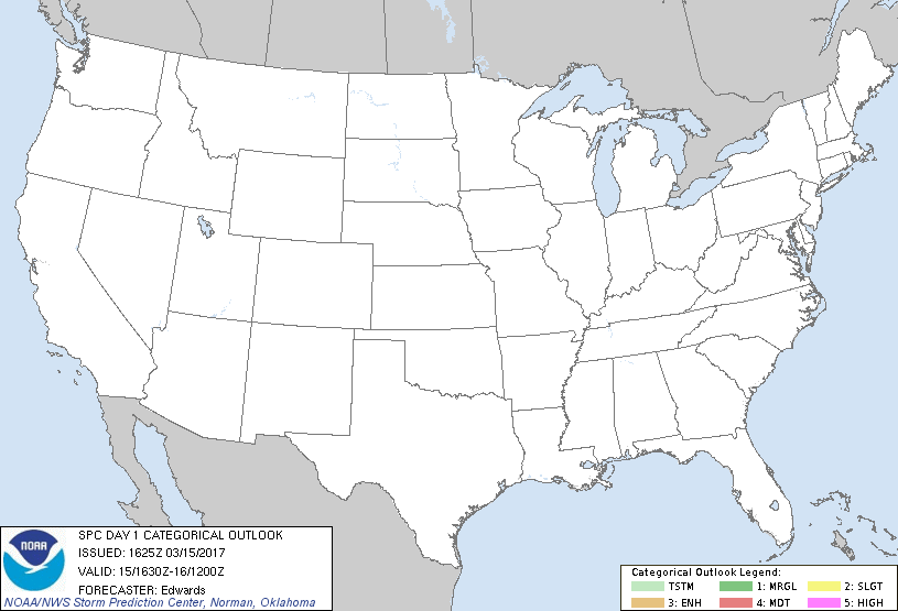
   ...NO THUNDERSTORM AREAS FORECAST...

   ...SUMMARY...
   Thunderstorms are not expected across the contiguous United States
   today or tonight.

   ...Synopsis...
   A major deep-layer cyclone, responsible for heavy snows in parts of
   the Northeast the past couple days, is deeply occluded and forecast
   to eject northeastward out of New England through the remainder of
   this period.  In its wake, expect a combination of post-cold-
   frontal, low-theta-e, continental-polar air in low levels with
   height rises aloft, and weak moisture within a narrow, very immature
   return-flow process over the western Gulf.  As such, conditions will
   be wholly unsuitable for thunder from the Great Plains eastward.
   Upstream in upper levels, a big cyclone will move erratically
   southward across the Gulf of Alaska, while in related southwesterly
   flow, several shortwaves eject northeastward across the Pacific
   Northwest.  The strongest of those is evident in moisture-channel
   imagery between 131-135W and 40-50N.  This perturbation will move
   ashore over western WA and OR between 00-06Z, weakening markedly
   with inland penetration.

   ...Northwest States...
   Weak low/middle-level CAPE may develop across parts of the northern
   Intermountain region, and along and offshore of the Pacific
   Northwest coast -- each in response to the vertical juxtaposition of
   cooling aloft with at least marginally suitable low-level moisture.
   In both instances, a rogue lightning flash cannot be ruled out;
   however, forecast soundings suggest that instability will be too
   shallow and meager to support thunder coverage of at least 10%.

   ..Edwards.. 03/15/2017

   CLICK TO GET WUUS01 PTSDY1 PRODUCT

   NOTE: THE NEXT DAY 1 OUTLOOK IS SCHEDULED BY 2000Z
|


