Probability of a tornado within 25 miles of a point. Hatched Area: 10% or greater probability of EF2 - EF5 tornadoes within 25 miles of a point.
Day 1 Tornado Risk
Area (sq. mi.)
Area Pop.
Some Larger Population Centers in Risk Area
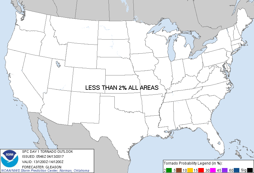
No Risk Areas Forecast
Probabilistic Damaging Wind Graphic
Probability of damaging thunderstorm winds or wind gusts of 50 knots or higher within 25 miles of a point. Hatched Area: 10% of greater probability of wind gusts 65 knots or greater within 25 miles of a point.
SPC AC 130546
Day 1 Convective Outlook
NWS Storm Prediction Center Norman OK
1246 AM CDT Thu Apr 13 2017
Valid 131200Z - 141200Z
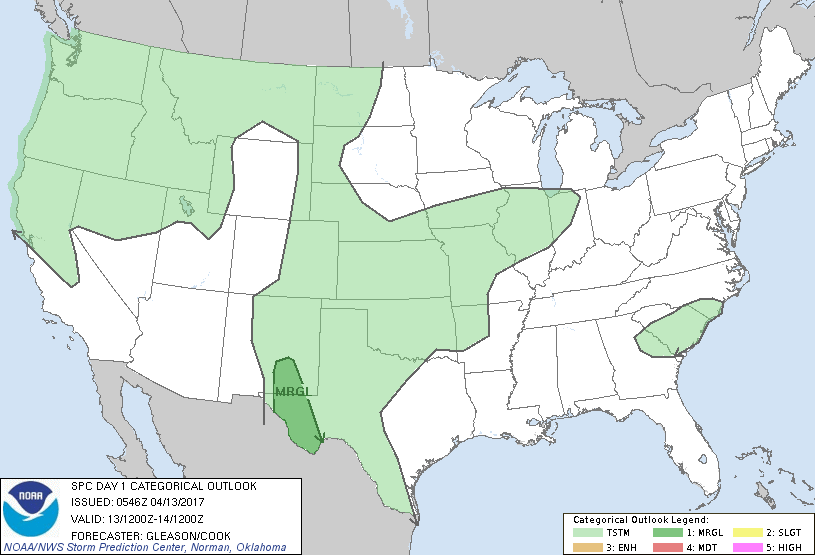
...THERE IS A MARGINAL RISK OF SEVERE THUNDERSTORMS ACROSS PARTS OF
SOUTHEASTERN NM AND WEST TX...
...SUMMARY...
A couple of strong to severe thunderstorms posing an isolated threat
for large hail and gusty winds will be possible this afternoon and
early evening across parts of southeastern New Mexico and west
Texas.
...Synopsis...
As a large-scale upper trough moves northeastward across the parts
of the western CONUS, a separate low-amplitude shortwave trough will
translate from the southern High Plains to the central Plains by
tonight. At the surface, low pressure will deepen across the
northern High Plains of eastern MT, while lee troughing extends
southward from this low across a majority of the central/southern
High Plains.
...Southeastern NM/West TX...
In the wake of the northeastward-moving shortwave trough across the
Plains, large-scale ascent will be minimal across southeastern NM
and west TX through the afternoon. But, modest southeasterly
low-level upslope flow should foster convective initiation across
the higher terrain of this region by late afternoon. Low-level
moisture characterized by surface dewpoints in the upper 50s to low
60s will be present along and east of the surface lee trough. Steep
mid-level lapse rates of 7-8 C/km in combination with this low-level
moisture and diurnal heating will contribute to moderate/strong
instability, with MLCAPE generally ranging from 1500-2500 J/kg. Both
low- and mid-level flow are expected to remain weak, generally 25 kt
or less. However, a veering wind profile should support effective
bulk shear values of 25-35 kt, which may be sufficient for
semi-organized multicell/marginal supercell structures. Given the
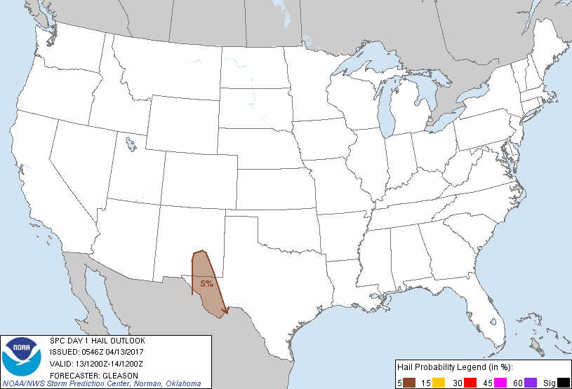
steep mid-level lapse rates, isolated large hail will be possible
with these thunderstorms in addition to some threat for gusty winds.
The lack of stronger large-scale forcing will likely limit the both
the coverage and movement of any convection that develops in the
afternoon over higher terrain, and 5% hail/wind probabilities remain
confined to a narrow spatial corridor across southeastern NM/west
TX.
...Northwest TX/Southwestern OK...
Thunderstorms will probably be ongoing across parts of the southern
High Plains at the start of the period in association with the
northeastward-moving shortwave trough. Cloudiness and precipitation
will likely hamper substantial destabilization across much of
western OK and northwest TX through this afternoon, and mid-level
lapse rates are forecast to remain poor (around 6-6.5 C/km from
700-500 mb). Still, some prospect for modest instability to develop
appears possible on the southern fringe of the shortwave trough and
associated morning precipitation. If this were to occur, then 25-30
kt of effective bulk shear could allow for some multicell clusters
posing a very isolated gusty wind threat. At this time, too much
uncertainty remains regarding sufficient destabilization across this
region by the afternoon to include unconditional severe wind
probabilities.
..Gleason/Cook.. 04/13/2017
CLICK TO GET WUUS01 PTSDY1 PRODUCT
NOTE: THE NEXT DAY 1 OUTLOOK IS SCHEDULED BY 1300Z