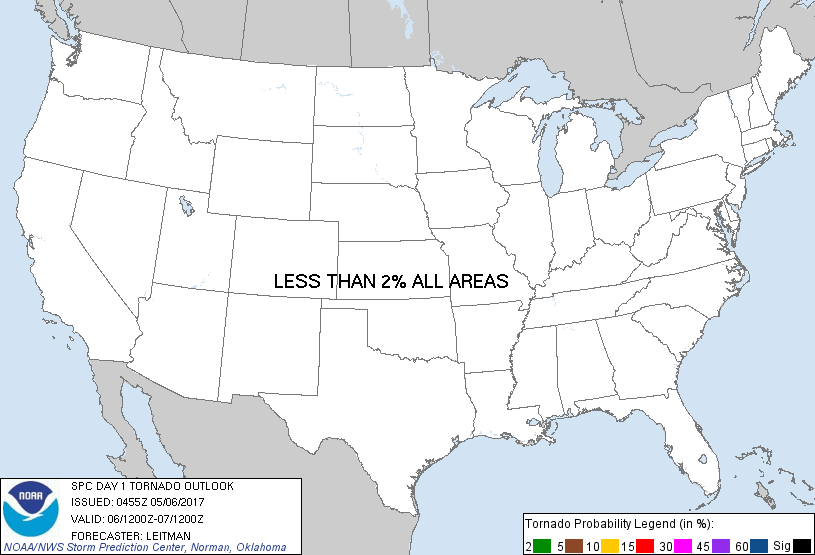
Probability of a tornado within 25 miles of a point. Hatched Area: 10% or greater probability of EF2 - EF5 tornadoes within 25 miles of a point.
Day 1 Tornado Risk
Area (sq. mi.)
Area Pop.
Some Larger Population Centers in Risk Area
No Risk Areas Forecast
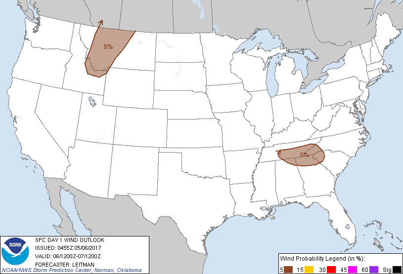
Probabilistic Damaging Wind Graphic
Probability of damaging thunderstorm winds or wind gusts of 50 knots or higher within 25 miles of a point. Hatched Area: 10% of greater probability of wind gusts 65 knots or greater within 25 miles of a point.
SPC AC 060455
Day 1 Convective Outlook
NWS Storm Prediction Center Norman OK
1155 PM CDT Fri May 05 2017
Valid 061200Z - 071200Z
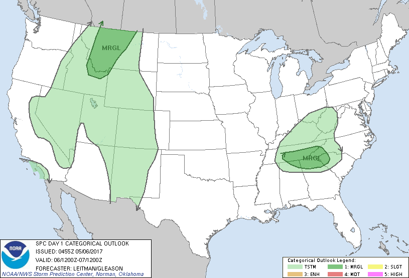
...THERE IS A MARGINAL RISK OF SEVERE THUNDERSTORMS ACROSS THE
SOUTHERN APPALACHIANS...
...THERE IS A MARGINAL RISK OF SEVERE THUNDERSTORMS ACROSS PARTS OF
THE NORTHERN ROCKIES...
...SUMMARY...
Isolated strong/severe thunderstorms may develop over portions of
western/central Montana and vicinity this afternoon and evening. A
couple of strong/severe storms may also develop near the southern
Appalachians during the afternoon.
...Synopsis...
A weak shortwave impulse within the backside of the eastern U.S.
upper trough will track south/southeast today from the mid-MS valley
through the Mid-South and southern/central Appalachians. As a
result, strong deep-layer northwesterly flow will overspread the
region. A corresponding weak surface low and reinforcing cold front
will drop southeast across the region and showers and thunderstorms
are expected to develop across parts of southwest TN, western NC/SC
and northern GA/AL by afternoon.
Further west, an upper low is expected to develop near the southern
CA coast. Meanwhile, the northern branch of the larger-scale western
trough will lift north/northeast into Canada. This will result in
some weak shortwave ridging across the northern Rockies, but showers
and thunderstorms are still expected to develop over higher terrain
during the afternoon as a cold front tracks eastward into western MT
and eastern ID, then southeastward across the Great Basin.
...Southern Appalachians vicinity...
Boundary-layer moisture will be limited across the region, with
dewpoints generally in the upper 40s to low 50s. However, cold
temperatures aloft resulting in modest midlevel lapse rates will
result in weak instability during the afternoon. Point forecast
soundings indicate a deeply-mixed boundary layer of around 4-5 kft,
with near 50 kt flow at the top of this mixed layer. Showers and
thunderstorms are expected by early afternoon as forcing for ascent
increases. This convection may organize into linear segments along
the southward surging cold front, and given the strength of shear
profiles atop the mixed layer, would have the potential for
producing some strong wind gusts. Small hail also will be possible.
...Northern Rockies...
The scenario today will be similar to that a bit further west on
Friday. Thunderstorms are expected to develop in weak instability
ahead of the surface cold front. Steep midlevel lapse rates and cold
temperatures aloft could result in some marginal hail. Additionally,
a dry sub-cloud layer may aid in some gusty winds developing with
stronger cells, though midlevel flow is weaker than on Friday.
..Leitman/Gleason.. 05/06/2017
CLICK TO GET WUUS01 PTSDY1 PRODUCT
NOTE: THE NEXT DAY 1 OUTLOOK IS SCHEDULED BY 1300Z