Salt Lake City, UT...Knoxville, TN...Chattanooga, TN...West Valley City, UT...Provo, UT...
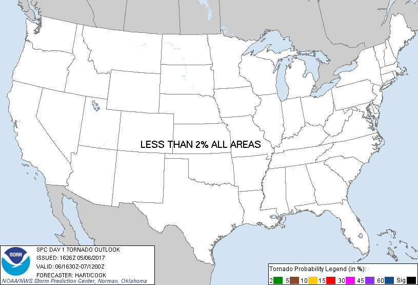
Probabilistic Tornado Graphic
Probability of a tornado within 25 miles of a point. Hatched Area: 10% or greater probability of EF2 - EF5 tornadoes within 25 miles of a point.
Day 1 Tornado Risk
Area (sq. mi.)
Area Pop.
Some Larger Population Centers in Risk Area
No Risk Areas Forecast
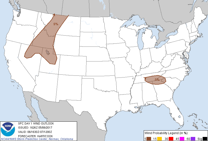
Probabilistic Damaging Wind Graphic
Probability of damaging thunderstorm winds or wind gusts of 50 knots or higher within 25 miles of a point. Hatched Area: 10% of greater probability of wind gusts 65 knots or greater within 25 miles of a point.
Day 1 Wind Risk
Area (sq. mi.)
Area Pop.
Some Larger Population Centers in Risk Area
5 %
202,865
8,307,457
Salt Lake City, UT...Knoxville, TN...Chattanooga, TN...West Valley City, UT...Provo, UT...
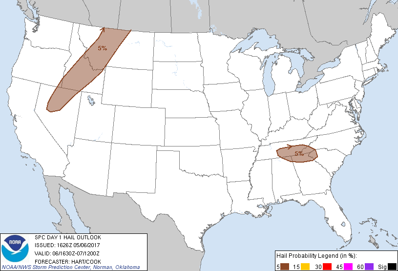
Probabilistic Large Hail Graphic
Probability of hail 1" or larger within 25 miles of a point. Hatched Area: 10% or greater probability of hail 2" or larger within 25 miles of a point.
Day 1 Hail Risk
Area (sq. mi.)
Area Pop.
Some Larger Population Centers in Risk Area
5 %
146,015
5,332,695
Chattanooga, TN...Murfreesboro, TN...Nampa, ID...Great Falls, MT...Greenville, SC...
SPC AC 061626
Day 1 Convective Outlook
NWS Storm Prediction Center Norman OK
1126 AM CDT Sat May 06 2017
Valid 061630Z - 071200Z
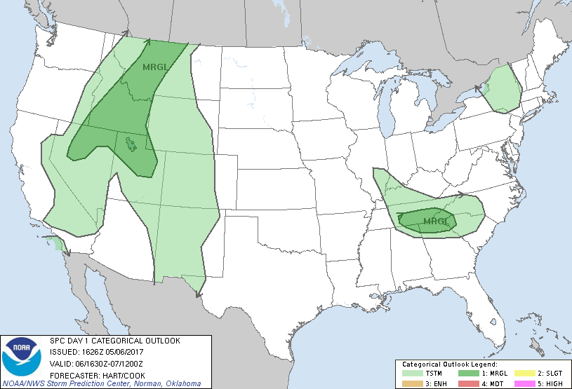
...THERE IS A MARGINAL RISK OF SEVERE THUNDERSTORMS OVER PARTS OF
THE NORTHERN ROCKIES AND GREAT BASIN....
...THERE IS A MARGINAL RISK OF SEVERE THUNDERSTORMS OVER PARTS OF
TN/GA AND SURROUNDING STATES...
...SUMMARY...
Isolated strong/severe thunderstorms may develop over portions of
the northern Great Basin/northern Rockies this afternoon and
evening. A couple of strong/severe storms may also develop near the
southern Appalachians later today.
...TN/GA region...
Water vapor loop shows a fast-moving shortwave trough over IN/KY.
this feature will rotate southeastward across parts of the TN valley
and central Appalachians this afternoon and evening, providing the
lift and focus for scattered showers and thunderstorms. Moisture
and instability are quite limited in this region. However, strong
wind fields and fast storm motions, coupled with sufficient vertical
shear for some organization, may promote gusty winds and some hail
in the strongest cells.
...Northern Rockies and Great Basin...
A band of showers and thunderstorms is expected to develop once
again this afternoon ahead of a broad upper trough from northern NV
into central ID and western MT. These storms will be capable of
isolated instances of hail and damaging wind gusts. Farther
southeast, forecast soundings parts of UT and southeast ID appear
favorable for dry-microburst activity. CAM solutions suggest
fast-moving showers and a few thunderstorms in this area, posing a
risk of damaging wind gusts.
..Hart/Cook.. 05/06/2017
CLICK TO GET WUUS01 PTSDY1 PRODUCT
NOTE: THE NEXT DAY 1 OUTLOOK IS SCHEDULED BY 2000Z