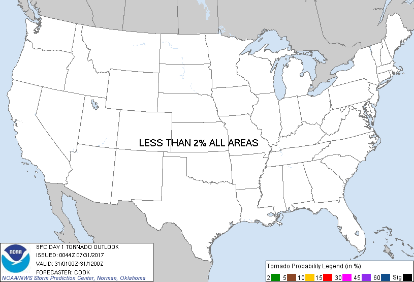
Probability of a tornado within 25 miles of a point. Hatched Area: 10% or greater probability of EF2 - EF5 tornadoes within 25 miles of a point.
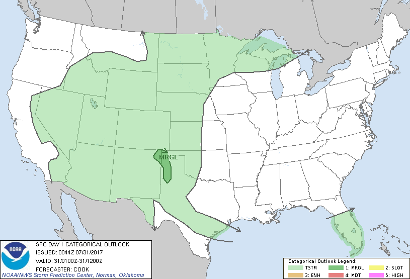
Day 1 Tornado Risk
Area (sq. mi.)
Area Pop.
Some Larger Population Centers in Risk Area
No Risk Areas Forecast
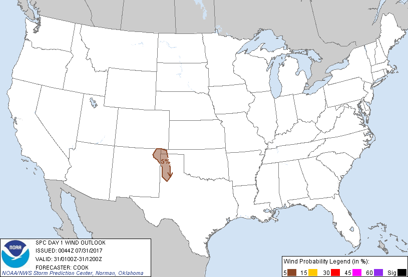
Probabilistic Damaging Wind Graphic
Probability of damaging thunderstorm winds or wind gusts of 50 knots or higher within 25 miles of a point. Hatched Area: 10% of greater probability of wind gusts 65 knots or greater within 25 miles of a point.
Day 1 Wind Risk
Area (sq. mi.)
Area Pop.
Some Larger Population Centers in Risk Area
5 %
15,220
334,476
Amarillo, TX...Hereford, TX...Canyon, TX...
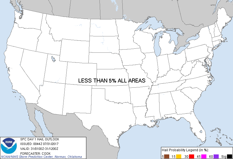
Probabilistic Large Hail Graphic
Probability of hail 1" or larger within 25 miles of a point. Hatched Area: 10% or greater probability of hail 2" or larger within 25 miles of a point.
Day 1 Hail Risk
Area (sq. mi.)
Area Pop.
Some Larger Population Centers in Risk Area
No Risk Areas Forecast
   SPC AC 310044

   Day 1 Convective Outlook
   NWS Storm Prediction Center Norman OK
   0744 PM CDT Sun Jul 30 2017

   Valid 310100Z - 311200Z

   ...THERE IS A MARGINAL RISK OF SEVERE THUNDERSTORMS ACROSS THE
   WESTERN TEXAS PANHANDLE AND FAR NORTHEASTERN NEW MEXICO...

   ...SUMMARY...
   Scattered storms in the western Texas Panhandle and far northeastern
   New Mexico will pose a marginal risk for damaging winds through
   sunset.

   ...Western Texas Panhandle and far northeastern New Mexico...
   Scattered thunderstorms have developed and begun to slowly propagate
   northeastward across the area.  These storms are propagating through
   an axis of moderate instability that will aid in a continued,
   although isolated, damaging wind threat into the early overnight
   hours.  Storms should undergo a weakening trend after dark with the
   onset of nocturnal boundary layer cooling and stabilization.

   ...Central/Southwestern Nebraska...
   Southward-moving linear segments continue to propagate across the
   region currently.  Storms have generally been sub-severe, with
   downdraft cores well-separated from gust fronts - characteristic of
   an environment containing weak low-level shear.  A weakening trend
   should commence soon as nocturnal boundary layer cooling commences,
   lessening an already marginal risk for hail/wind damage.  As such,
   severe probabilities have been removed for this outlook update.

   ..Cook.. 07/31/2017

   CLICK TO GET WUUS01 PTSDY1 PRODUCT

   NOTE: THE NEXT DAY 1 OUTLOOK IS SCHEDULED BY 0600Z