Albuquerque, NM...Santa Fe, NM...Rio Rancho, NM...South Valley, NM...Las Vegas, NM...
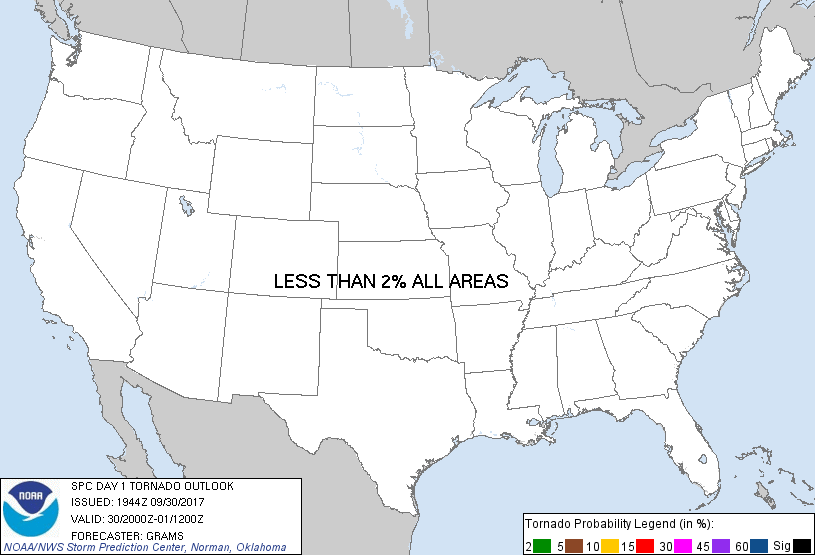
Probabilistic Tornado Graphic
Probability of a tornado within 25 miles of a point. Hatched Area: 10% or greater probability of EF2 - EF5 tornadoes within 25 miles of a point.
Day 1 Tornado Risk
Area (sq. mi.)
Area Pop.
Some Larger Population Centers in Risk Area
No Risk Areas Forecast
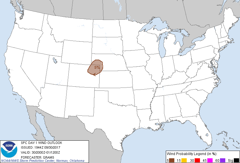
Probabilistic Damaging Wind Graphic
Probability of damaging thunderstorm winds or wind gusts of 50 knots or higher within 25 miles of a point. Hatched Area: 10% of greater probability of wind gusts 65 knots or greater within 25 miles of a point.
Day 1 Wind Risk
Area (sq. mi.)
Area Pop.
Some Larger Population Centers in Risk Area
5 %
23,926
137,285
Sterling, CO...Fort Morgan, CO...
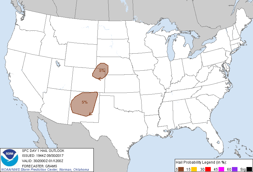
Probabilistic Large Hail Graphic
Probability of hail 1" or larger within 25 miles of a point. Hatched Area: 10% or greater probability of hail 2" or larger within 25 miles of a point.
Day 1 Hail Risk
Area (sq. mi.)
Area Pop.
Some Larger Population Centers in Risk Area
5 %
87,334
1,408,228
Albuquerque, NM...Santa Fe, NM...Rio Rancho, NM...South Valley, NM...Las Vegas, NM...
SPC AC 301944
Day 1 Convective Outlook
NWS Storm Prediction Center Norman OK
0244 PM CDT Sat Sep 30 2017
Valid 302000Z - 011200Z
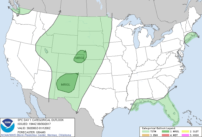
...THERE IS A MARGINAL RISK OF SEVERE THUNDERSTORMS NM...
...THERE IS A MARGINAL RISK OF SEVERE THUNDERSTORMS CENTRAL HIGH
PLAINS...
...SUMMARY...
Isolated severe storms may affect parts of New Mexico and the
central High Plains through this evening.
...Central High Plains...
No changes to previous outlook. Please see previous discussion.
...NM...
Expanded the Marginal risk to account for ongoing storms across
west-central NM and towering cumulus over the Sacramento mountains
of south-central NM. Small to isolated marginally severe hail will
remain likely with storms through the evening. Please see MCD 1676
for additional short-term information.
..Grams.. 09/30/2017
.PREV DISCUSSION... /ISSUED 1130 AM CDT Sat Sep 30 2017/
...Central High Plains...
Thunderstorms should form this afternoon over the mountains and
foothills, in a regime of large-scale height falls, DCVA cooling
aloft and weak CINH preceding the leading western-states shortwave
trough. This activity will move atop a well-mixed sub-cloud layer on
the adjoining High Plains, before encountering greater low-level
moisture late this afternoon and evening near the lee trough.
Beneath favorable midlevel lapse rates, this will support a narrow
corridor of MLCAPE 1000-2000 J/kg near and east of the lee trough.
While modest vertical shear should limit the overall risk, isolated
severe hail/gusts are possible before convection moves over a more
stable boundary layer with time and eastward extent this evening
into the overnight.
...NM...
A weak mid-level disturbance and moderately strong cyclonic flow
aloft in the presence of adequate moisture will support the
possibility of strong to locally severe thunderstorms through the
afternoon mainly across the northern half of NM. A few instances of
severe hail may occur.
...Northern UT...
Increasing large-scale forcing for ascent, attributable to DCVA and
an overspreading upper jet left-exit region, along with a warming
boundary layer/modest moisture will likely contribute to increasing
thunderstorm development this afternoon. A few stronger wind gusts
cannot be ruled out given a dry sub-cloud layer, although weak
overall buoyancy (especially given lingering early-day showers and
cloud cover) seems likely to preclude an organized severe risk.
CLICK TO GET WUUS01 PTSDY1 PRODUCT
NOTE: THE NEXT DAY 1 OUTLOOK IS SCHEDULED BY 0100Z