Probability of a tornado within 25 miles of a point. Hatched Area: 10% or greater probability of EF2 - EF5 tornadoes within 25 miles of a point.
Day 1 Tornado Risk
Area (sq. mi.)
Area Pop.
Some Larger Population Centers in Risk Area
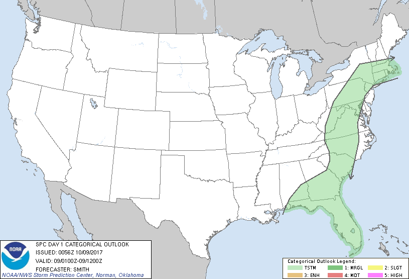
No Risk Areas Forecast
Probabilistic Damaging Wind Graphic
Probability of damaging thunderstorm winds or wind gusts of 50 knots or higher within 25 miles of a point. Hatched Area: 10% of greater probability of wind gusts 65 knots or greater within 25 miles of a point.
Day 1 Wind Risk
Area (sq. mi.)
Area Pop.
Some Larger Population Centers in Risk Area
No Risk Areas Forecast
Probabilistic Large Hail Graphic
Probability of hail 1" or larger within 25 miles of a point. Hatched Area: 10% or greater probability of hail 2" or larger within 25 miles of a point.
Day 1 Hail Risk
Area (sq. mi.)
Area Pop.
Some Larger Population Centers in Risk Area
No Risk Areas Forecast
   SPC AC 090056

   Day 1 Convective Outlook
   NWS Storm Prediction Center Norman OK
   0756 PM CDT Sun Oct 08 2017

   Valid 090100Z - 091200Z

   ...NO SEVERE THUNDERSTORM AREAS FORECAST...

   ...SUMMARY...
   Organized severe thunderstorms are not forecast tonight across the
   contiguous United States.

   ...Synopsis...
   The remnants of Tropical Cyclone Nate will continue to shear
   north-northeast from TN-KY into the upper OH Valley tonight.  A very
   moist boundary layer will extend from the Carolina coast into the
   Mid-Atlantic states.  Weak buoyancy/ascent will promote isolated
   thunderstorms across the NC/VA region during the evening.  Weak
   tropospheric lapse rates will limit updraft vigor and the risk for a
   severe thunderstorm.  A low probability (10%) for widely-spaced
   thunderstorms will seemingly exist from the northeast Gulf Coast to
   southern New England during the overnight.

   ..Smith.. 10/09/2017

   CLICK TO GET WUUS01 PTSDY1 PRODUCT

   NOTE: THE NEXT DAY 1 OUTLOOK IS SCHEDULED BY 0600Z