SPC AC 131954
Day 1 Convective Outlook
NWS Storm Prediction Center Norman OK
0254 PM CDT Fri Oct 13 2017
Valid 132000Z - 141200Z
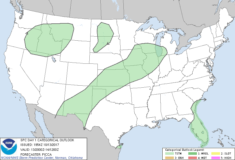
...NO SEVERE THUNDERSTORM AREAS FORECAST...
...SUMMARY...
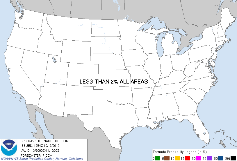
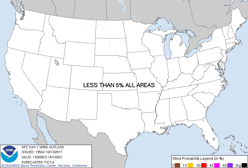
No severe thunderstorms are forecast today.
...Discussion...
Only minor adjustments have been made to the ongoing general
thunderstorm areas. A few stronger storms may develop late this
evening into tonight across the southern High Plains, and a few of
these storms may be capable of gusty winds and small hail. However,
the threat of severe weather still appears too small for Marginal
probabilities.
..Picca.. 10/13/2017
.PREV DISCUSSION... /ISSUED 1108 AM CDT Fri Oct 13 2017/
...IA/Northern IL...
Isolated strong thunderstorms are occurring late this morning along
a weak warm front extending from eastern IA into WI. This activity
may persist for another couple of hours, but is moving into a more
stable air mass. While hail is possible in the strongest cells, the
risk of 1" and larger hail seems low.
The surface cold front will continue to sweep eastward across IA
through the day, with scattered post-frontal showers and occasional
thunderstorms being common. 12z CAM guidance does not provide much
confidence in robust thunderstorms in this elevated regime.
Therefore, have removed the severe hail probabilities.
...TX Panhandle/southwest KS/northwest OK...
A cold front will sag southward across the central/southern High
Plains today, providing the focus for scattered evening
thunderstorms over eastern NM into west TX. Most of these storms
will likely occur near/after dark, and in a region only marginally
favorable for strong up/downdrafts. Given the low confidence of
thunderstorm coverage, and limited conditional risk of severe
storms, have opted to remove severe probabilities.
CLICK TO GET WUUS01 PTSDY1 PRODUCT
NOTE: THE NEXT DAY 1 OUTLOOK IS SCHEDULED BY 0100Z
|