Probability of a tornado within 25 miles of a point. Hatched Area: 10% or greater probability of EF2 - EF5 tornadoes within 25 miles of a point.
Day 1 Tornado Risk
Area (sq. mi.)
Area Pop.
Some Larger Population Centers in Risk Area
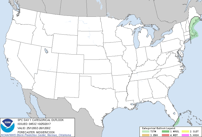
No Risk Areas Forecast
Probabilistic Damaging Wind Graphic
Probability of damaging thunderstorm winds or wind gusts of 50 knots or higher within 25 miles of a point. Hatched Area: 10% of greater probability of wind gusts 65 knots or greater within 25 miles of a point.
Day 1 Wind Risk
Area (sq. mi.)
Area Pop.
Some Larger Population Centers in Risk Area
No Risk Areas Forecast
Probabilistic Large Hail Graphic
Probability of hail 1" or larger within 25 miles of a point. Hatched Area: 10% or greater probability of hail 2" or larger within 25 miles of a point.
Day 1 Hail Risk
Area (sq. mi.)
Area Pop.
Some Larger Population Centers in Risk Area
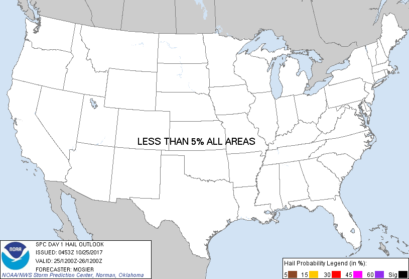
No Risk Areas Forecast
   SPC AC 250453

   Day 1 Convective Outlook
   NWS Storm Prediction Center Norman OK
   1153 PM CDT Tue Oct 24 2017

   Valid 251200Z - 261200Z

   ...NO SEVERE THUNDERSTORM AREAS FORECAST...

   ...SUMMARY...
   Thunderstorms may impact eastern portions of southern New England
   today but no severe weather is anticipated.

   ...Synopsis...
   Deep upper trough extending from the Hudson Bay southward to the
   central Gulf Coast will be in place at the beginning of the period.
   A pair of shortwave troughs are expected to move through this upper
   trough. The lead shortwave will pivot from the Southeast
   northeastward to off the Mid-Atlantic coast while the second
   shortwave progresses from the upper MS Valley into the TN Valley.
   Overall progression of these two shortwaves will encourage slight
   eastward progress of the parent upper trough as well as some modest
   deamplification. Another strong shortwave trough is expected to move
   from central Alberta through the northern Plains.

   At the surface, frontal zone initially extending from the northern
   VT/NH border southward through central Long Island will move only
   slightly eastward throughout the period. Occluded low over the upper
   Great Lakes will drift northeastward while continuing to fill. Low
   attendant to the Alberta shortwave trough will deepen as it moves
   across the northern Rockies.

   ...Southern New England...
   Very moist airmass (i.e. precipitable water values around 1.75
   inches) will remain over the region ahead of the slowly moving cold
   front. Instability will be limited by these moist profiles and
   resultant poor lapse rates. Mid-level winds across the region will
   remain strong throughout the period but low-level wind fields will
   gradually weaken as the low-level jet shifts eastward and the
   surface pressure gradient relaxes. Large-scale forcing for ascent
   will be limited until the early afternoon when a modest increase in
   lift is anticipated as the region becomes more favorable located
   beneath the upper jet and the upper trough approaches from the west.
   Even so, slight eastward progression of the cold front will have
   likely pushed the best low-level moisture offshore. This
   dissociation between the best low-level moisture and best lift will
   result in generally weak updrafts and the probability of updrafts
   strong enough to produce severe weather is expected to remain very
   low.

   ..Mosier/Cook.. 10/25/2017

   CLICK TO GET WUUS01 PTSDY1 PRODUCT

   NOTE: THE NEXT DAY 1 OUTLOOK IS SCHEDULED BY 1300Z