Probability of a tornado within 25 miles of a point. Hatched Area: 10% or greater probability of EF2 - EF5 tornadoes within 25 miles of a point.
Day 1 Tornado Risk
Area (sq. mi.)
Area Pop.
Some Larger Population Centers in Risk Area
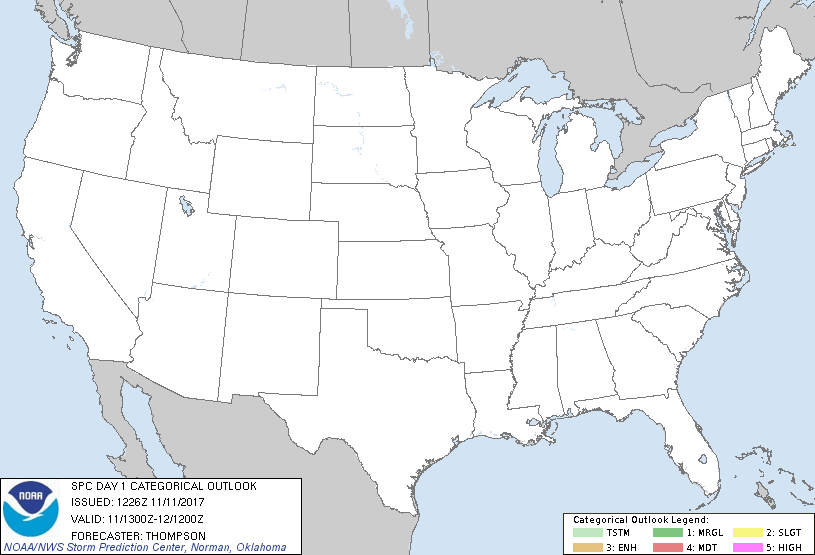
No Risk Areas Forecast
Probabilistic Damaging Wind Graphic
Probability of damaging thunderstorm winds or wind gusts of 50 knots or higher within 25 miles of a point. Hatched Area: 10% of greater probability of wind gusts 65 knots or greater within 25 miles of a point.
Day 1 Wind Risk
Area (sq. mi.)
Area Pop.
Some Larger Population Centers in Risk Area
No Risk Areas Forecast
Probabilistic Large Hail Graphic
Probability of hail 1" or larger within 25 miles of a point. Hatched Area: 10% or greater probability of hail 2" or larger within 25 miles of a point.
Day 1 Hail Risk
Area (sq. mi.)
Area Pop.
Some Larger Population Centers in Risk Area
No Risk Areas Forecast
   SPC AC 111226

   Day 1 Convective Outlook
   NWS Storm Prediction Center Norman OK
   0626 AM CST Sat Nov 11 2017

   Valid 111300Z - 121200Z

   ...NO THUNDERSTORM AREAS FORECAST...

   ...SUMMARY...
   Thunderstorms are unlikely through tonight.

   ...Synopsis...
   No changes to the previous forecast.  A largely zonal flow regime
   across the CONUS, combined with a lingering continental polar air
   mass across most areas east of the Rockies, will preclude any threat
   for thunderstorms.  Some shallow convection will be possible along
   the FL east coast and across deep south TX, but lightning is not
   expected as a result of relatively warm cloud tops and a lack of
   mixed phase/charge separation.  Otherwise, conditionally unstable
   low-midlevel lapse rates will accompany a shortwave trough moving
   eastward across WY and western NE this afternoon.  However, very
   limited moisture/buoyancy suggest that thunderstorms are unlikely.

   ..Thompson.. 11/11/2017

   CLICK TO GET WUUS01 PTSDY1 PRODUCT

   NOTE: THE NEXT DAY 1 OUTLOOK IS SCHEDULED BY 1630Z