Probability of a tornado within 25 miles of a point. Hatched Area: 10% or greater probability of EF2 - EF5 tornadoes within 25 miles of a point.
Day 1 Tornado Risk
Area (sq. mi.)
Area Pop.
Some Larger Population Centers in Risk Area
No Risk Areas Forecast
Probabilistic Damaging Wind Graphic
Probability of damaging thunderstorm winds or wind gusts of 50 knots or higher within 25 miles of a point. Hatched Area: 10% of greater probability of wind gusts 65 knots or greater within 25 miles of a point.
Day 1 Wind Risk
Area (sq. mi.)
Area Pop.
Some Larger Population Centers in Risk Area
No Risk Areas Forecast
Probabilistic Large Hail Graphic
Probability of hail 1" or larger within 25 miles of a point. Hatched Area: 10% or greater probability of hail 2" or larger within 25 miles of a point.
Day 1 Hail Risk
Area (sq. mi.)
Area Pop.
Some Larger Population Centers in Risk Area
No Risk Areas Forecast
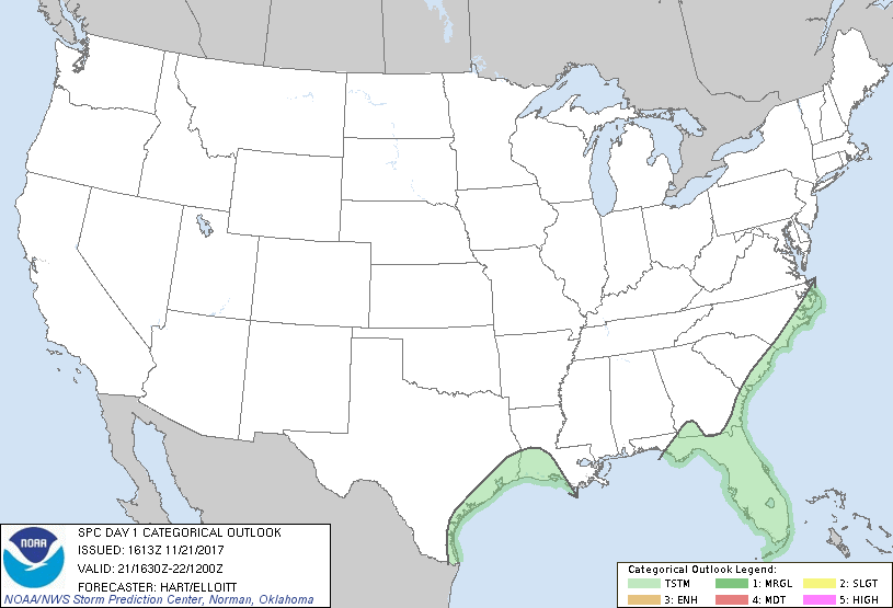
   SPC AC 211613

   Day 1 Convective Outlook
   NWS Storm Prediction Center Norman OK
   1013 AM CST Tue Nov 21 2017

   Valid 211630Z - 221200Z

   ...NO SEVERE THUNDERSTORM AREAS FORECAST...

   ...SUMMARY...
   No severe thunderstorms are forecast across the nation today.

   A large upper trough is present today over the central and eastern
   United States.  Scattered showers and a few thunderstorms are
   expected to affect parts of TX/LA, as well as along the Carolina/GA
   coast and the FL peninsula.  Strong storms are possible just off the
   immediate coast of both regions, with hail and gusty winds possible.
   However, current guidance suggests the risk of severe storms moving
   inland is low.

   ..Hart/Elloitt.. 11/21/2017

   CLICK TO GET WUUS01 PTSDY1 PRODUCT

   NOTE: THE NEXT DAY 1 OUTLOOK IS SCHEDULED BY 2000Z