Nov 27, 2017 0600 UTC Day 1 Convective Outlook
Updated: Mon Nov 27 04:53:14 UTC 2017 (20171127 1200Z Day 1 shapefile | 20171127 1200Z Day 1 KML)
Probabilistic to Categorical Outlook Conversion Table
Categorical Graphic
20171127 1200 UTC Day 1 Outlook Graphic
Day 1 Risk Area (sq. mi.) Area Pop. Some Larger Population Centers in Risk Area
No Risk Areas Forecast
Probabilistic Tornado Graphic
20171127 1200 UTC Day 1 Tornado Probabilities Graphic
Probability of a tornado within 25 miles of a point.
Hatched Area: 10% or greater probability of EF2 - EF5 tornadoes within 25 miles of a point.
Day 1 Tornado Risk Area (sq. mi.) Area Pop. Some Larger Population Centers in Risk Area
No Risk Areas Forecast
Probabilistic Damaging Wind Graphic
20171127 1200 UTC Day 1 Damaging Wind Probabilities Graphic
Probability of damaging thunderstorm winds or wind gusts of 50 knots or higher within 25 miles of a point.
Hatched Area: 10% of greater probability of wind gusts 65 knots or greater within 25 miles of a point.
Day 1 Wind Risk Area (sq. mi.) Area Pop. Some Larger Population Centers in Risk Area
No Risk Areas Forecast
Probabilistic Large Hail Graphic
20171127 1200 UTC Day 1 Large Hail Probabilities Graphic
Probability of hail 1" or larger within 25 miles of a point.
Hatched Area: 10% or greater probability of hail 2" or larger within 25 miles of a point.
Day 1 Hail Risk Area (sq. mi.) Area Pop. Some Larger Population Centers in Risk Area
No Risk Areas Forecast
   SPC AC 270453

   Day 1 Convective Outlook  
   NWS Storm Prediction Center Norman OK
   1053 PM CST Sun Nov 26 2017

   Valid 271200Z - 281200Z

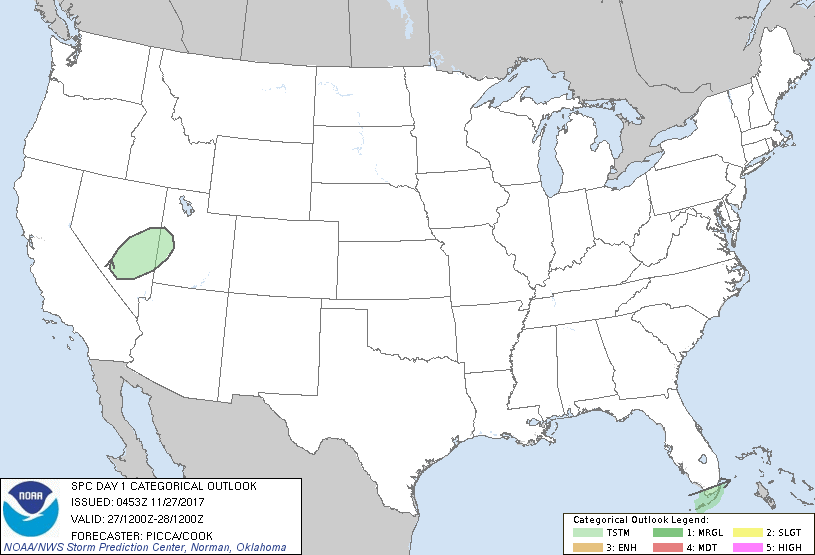
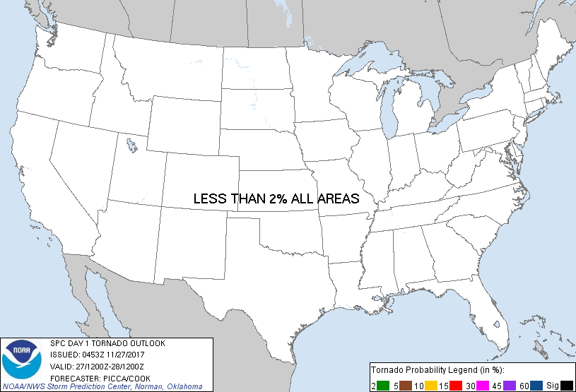
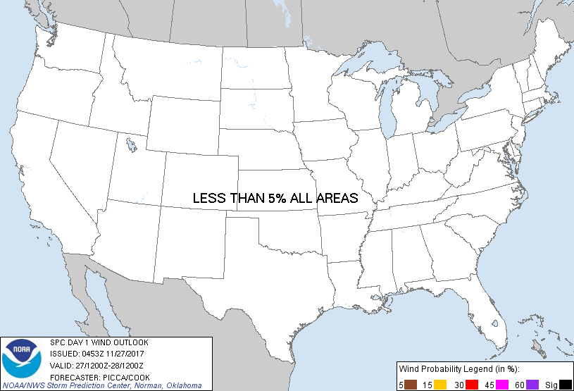
   ...NO SEVERE THUNDERSTORM AREAS FORECAST...

   ...SUMMARY...
   Isolated thunderstorms will be possible across parts of the Great
   Basin today. A couple thunderstorms may also occur through Monday
   night over parts of the Florida Keys.

   ...Synopsis/Discussion...
   A relatively progressive mid/upper pattern will continued across
   western North America today, featuring a pair of impulses transiting
   eastward. One of these will advance across southern Canada, while
   the other will push from California to the Four Corners region
   through the period. As it does so, an attendant surface front will
   drop southeast across the Great Basin. Despite fairly low
   tropospheric moisture content, ascent associated with both the
   impulse and the front should be sufficient for convective activity,
   primarily during the day across parts of Nevada and Utah. Forecast
   soundings depict pockets of weak buoyancy, but through a suitable
   depth for a few flashes of lightning.

   Elsewhere, convection will likely approach the Florida Keys through
   the period, aided by a weak impulse (currently observed over the
   Gulf) rotating around the base of a longer-wave trough. Modest
   low-level moistening, combined with gradual mid-level cooling, is
   forecast to generate adequate surface-based buoyancy for showers and
   a couple thunderstorms.

   ..Picca/Cook.. 11/27/2017

   CLICK TO GET WUUS01 PTSDY1 PRODUCT

   NOTE: THE NEXT DAY 1 OUTLOOK IS SCHEDULED BY 1300Z