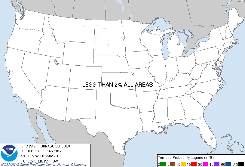
Probability of a tornado within 25 miles of a point. Hatched Area: 10% or greater probability of EF2 - EF5 tornadoes within 25 miles of a point.
Day 1 Tornado Risk
Area (sq. mi.)
Area Pop.
Some Larger Population Centers in Risk Area
No Risk Areas Forecast
Probabilistic Damaging Wind Graphic
Probability of damaging thunderstorm winds or wind gusts of 50 knots or higher within 25 miles of a point. Hatched Area: 10% of greater probability of wind gusts 65 knots or greater within 25 miles of a point.
Day 1 Wind Risk
Area (sq. mi.)
Area Pop.
Some Larger Population Centers in Risk Area
No Risk Areas Forecast
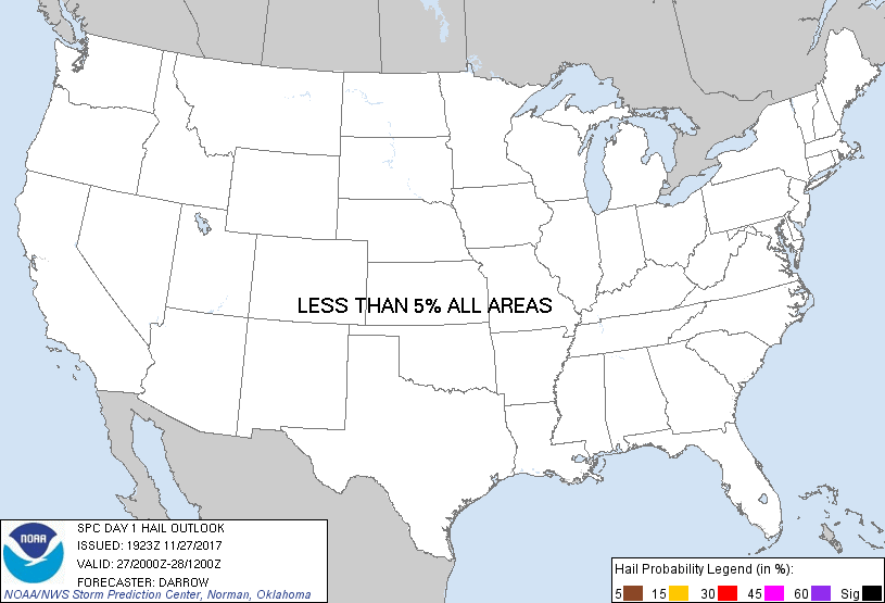
Probabilistic Large Hail Graphic
Probability of hail 1" or larger within 25 miles of a point. Hatched Area: 10% or greater probability of hail 2" or larger within 25 miles of a point.
Day 1 Hail Risk
Area (sq. mi.)
Area Pop.
Some Larger Population Centers in Risk Area
No Risk Areas Forecast
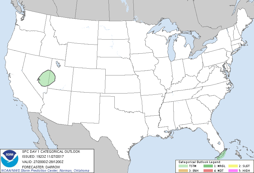
   SPC AC 271923

   Day 1 Convective Outlook
   NWS Storm Prediction Center Norman OK
   0123 PM CST Mon Nov 27 2017

   Valid 272000Z - 281200Z

   ...NO SEVERE THUNDERSTORM AREAS FORECAST...

   ...SUMMARY...
   Isolated thunderstorms will be possible across parts of Nevada and
   Utah this afternoon, and extreme south Florida tonight.

   ...Discussion...

   No changes to 1630z outlook.

   ..Darrow.. 11/27/2017

   .PREV DISCUSSION... /ISSUED 1019 AM CST Mon Nov 27 2017/

   ...NV/UT...
   Ahead of a compact shortwave trough, DCVA will be favorably timed
   with peak heating to yield low-topped convection along an impinging
   cold front. Buoyancy will likely remain quite scant, only around 100
   J/kg, which suggests thunderstorm potential should be limited.

   ...South FL...
   Convection has persisted along a decaying frontal zone across the
   southern Gulf to the northern coast of Cuba. Modest low-level moist
   advection will result in weak buoyancy developing north across the
   Keys and the southern tip of the Peninsula tonight. Isolated
   thunderstorms should mainly remain over the Straits, but a couple of
   storms could reach the coast.

   CLICK TO GET WUUS01 PTSDY1 PRODUCT

   NOTE: THE NEXT DAY 1 OUTLOOK IS SCHEDULED BY 0100Z