Probability of a tornado within 25 miles of a point. Hatched Area: 10% or greater probability of EF2 - EF5 tornadoes within 25 miles of a point.
Day 1 Tornado Risk
Area (sq. mi.)
Area Pop.
Some Larger Population Centers in Risk Area
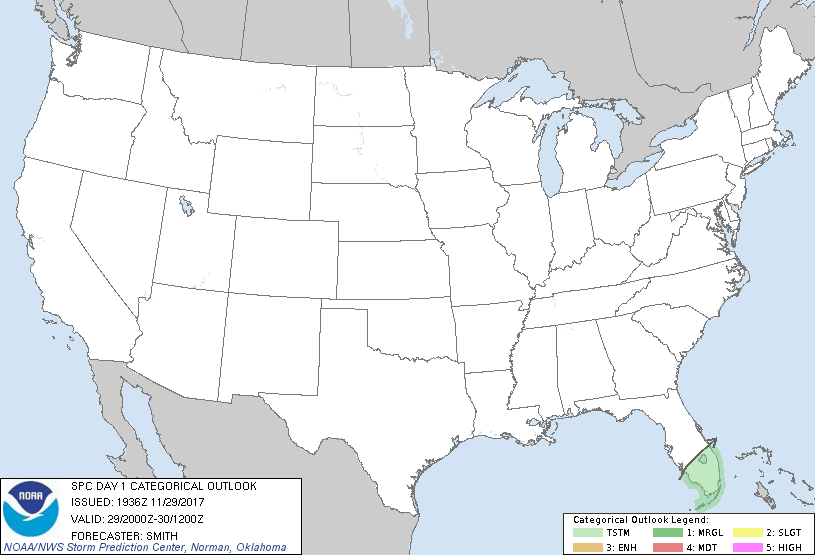
No Risk Areas Forecast
Probabilistic Damaging Wind Graphic
Probability of damaging thunderstorm winds or wind gusts of 50 knots or higher within 25 miles of a point. Hatched Area: 10% of greater probability of wind gusts 65 knots or greater within 25 miles of a point.
Day 1 Wind Risk
Area (sq. mi.)
Area Pop.
Some Larger Population Centers in Risk Area
No Risk Areas Forecast
Probabilistic Large Hail Graphic
Probability of hail 1" or larger within 25 miles of a point. Hatched Area: 10% or greater probability of hail 2" or larger within 25 miles of a point.
Day 1 Hail Risk
Area (sq. mi.)
Area Pop.
Some Larger Population Centers in Risk Area
No Risk Areas Forecast
   SPC AC 291936

   Day 1 Convective Outlook
   NWS Storm Prediction Center Norman OK
   0136 PM CST Wed Nov 29 2017

   Valid 292000Z - 301200Z

   ...NO SEVERE THUNDERSTORM AREAS FORECAST...

   ...SUMMARY...
   Isolated thunderstorms are possible this afternoon across south
   Florida.

   ...Discussion...
   No change has been made to the previous outlook.

   ..Smith.. 11/29/2017

   .PREV DISCUSSION... /ISSUED 1010 AM CST Wed Nov 29 2017/

   ...South FL...
   Scattered showers are ongoing along the Atlantic Coast amid a weak
   perturbation in the low-level easterlies. With further heating
   downstream, some of this activity may deepen into isolated
   thunderstorms as convection spreads west-southwest across the
   southern peninsula. Modest mid/upper lapse rates will support only
   thin/weak buoyancy and overall coverage/intensity will be limited.

   CLICK TO GET WUUS01 PTSDY1 PRODUCT

   NOTE: THE NEXT DAY 1 OUTLOOK IS SCHEDULED BY 0100Z