Dec 21, 2017 0600 UTC Day 1 Convective Outlook
Updated: Thu Dec 21 04:50:58 UTC 2017 (20171221 1200Z Day 1 shapefile | 20171221 1200Z Day 1 KML)
Probabilistic to Categorical Outlook Conversion Table
Categorical Graphic
20171221 1200 UTC Day 1 Outlook Graphic
Day 1 Risk Area (sq. mi.) Area Pop. Some Larger Population Centers in Risk Area
No Risk Areas Forecast
Probabilistic Tornado Graphic
20171221 1200 UTC Day 1 Tornado Probabilities Graphic
Probability of a tornado within 25 miles of a point.
Hatched Area: 10% or greater probability of EF2 - EF5 tornadoes within 25 miles of a point.
Day 1 Tornado Risk Area (sq. mi.) Area Pop. Some Larger Population Centers in Risk Area
No Risk Areas Forecast
Probabilistic Damaging Wind Graphic
20171221 1200 UTC Day 1 Damaging Wind Probabilities Graphic
Probability of damaging thunderstorm winds or wind gusts of 50 knots or higher within 25 miles of a point.
Hatched Area: 10% of greater probability of wind gusts 65 knots or greater within 25 miles of a point.
Day 1 Wind Risk Area (sq. mi.) Area Pop. Some Larger Population Centers in Risk Area
No Risk Areas Forecast
Probabilistic Large Hail Graphic
20171221 1200 UTC Day 1 Large Hail Probabilities Graphic
Probability of hail 1" or larger within 25 miles of a point.
Hatched Area: 10% or greater probability of hail 2" or larger within 25 miles of a point.
Day 1 Hail Risk Area (sq. mi.) Area Pop. Some Larger Population Centers in Risk Area
No Risk Areas Forecast
   SPC AC 210450

   Day 1 Convective Outlook  
   NWS Storm Prediction Center Norman OK
   1050 PM CST Wed Dec 20 2017

   Valid 211200Z - 221200Z

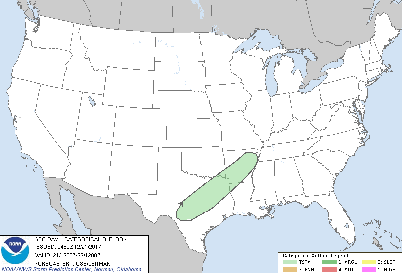
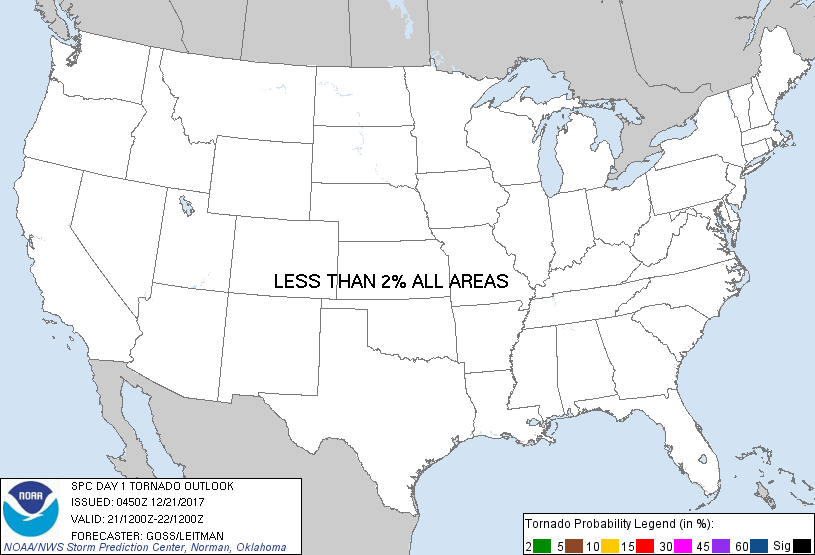
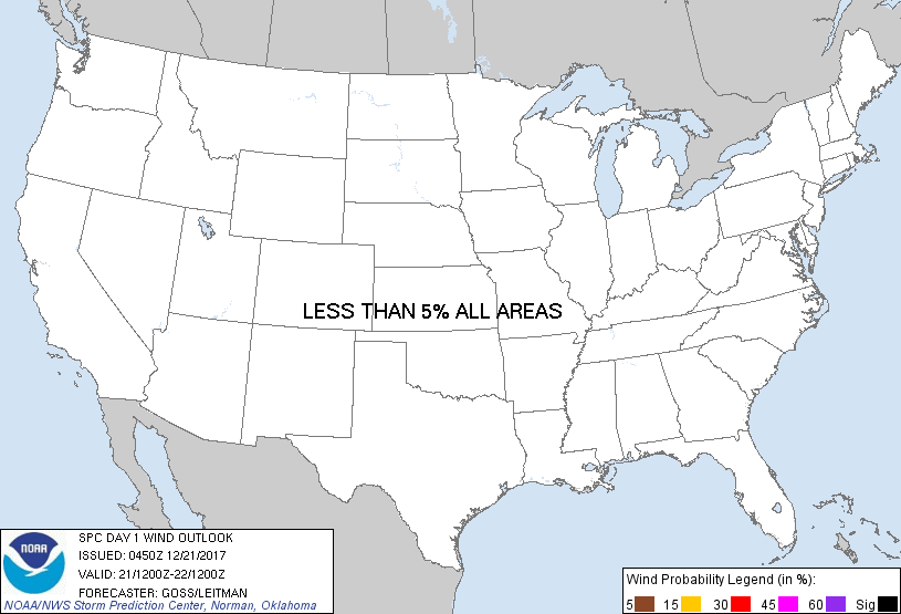
   ...NO SEVERE THUNDERSTORM AREAS FORECAST...

   ...SUMMARY...
   A few thunderstorms will be possible late Thursday night from the
   central Texas vicinity northeastward to the northeast Arkansas
   vicinity. Severe weather is not currently expected.

   ...Discussion...
   An upper low now crossing the Great Basin is progged to continue
   digging southeast across the Four Corners states Thursday.  As this
   occurs, ridging over the Gulf of Mexico and the southeastern U.S.
   will amplify gradually in response.

   At the surface, a cold front developing in conjunction with the
   digging upper system is forecast to shift southeastward across the
   southern Plains and later, the Ozarks region.  

   As warm advection/ascent increases across the southern Plains
   vicinity, showers -- and later, embedded/elevated thunderstorms --
   are forecast to develop, mainly during the second half of the
   period.  Weak instability is expected however, which should preclude
   appreciable severe risk through the end of the period.

   ..Goss/Leitman.. 12/21/2017

   CLICK TO GET WUUS01 PTSDY1 PRODUCT

   NOTE: THE NEXT DAY 1 OUTLOOK IS SCHEDULED BY 1300Z