SPC AC 090455
Day 2 Convective Outlook
NWS Storm Prediction Center Norman OK
1055 PM CST Sun Jan 08 2017
Valid 101200Z - 111200Z
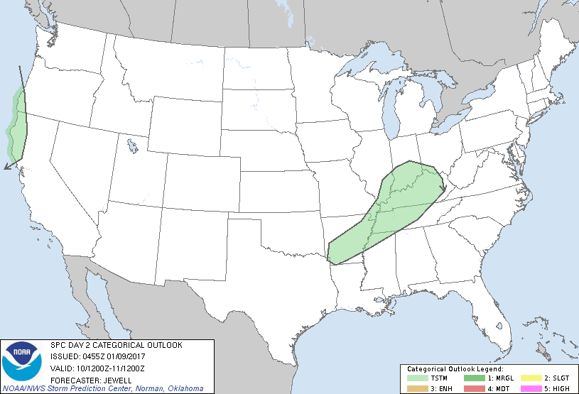
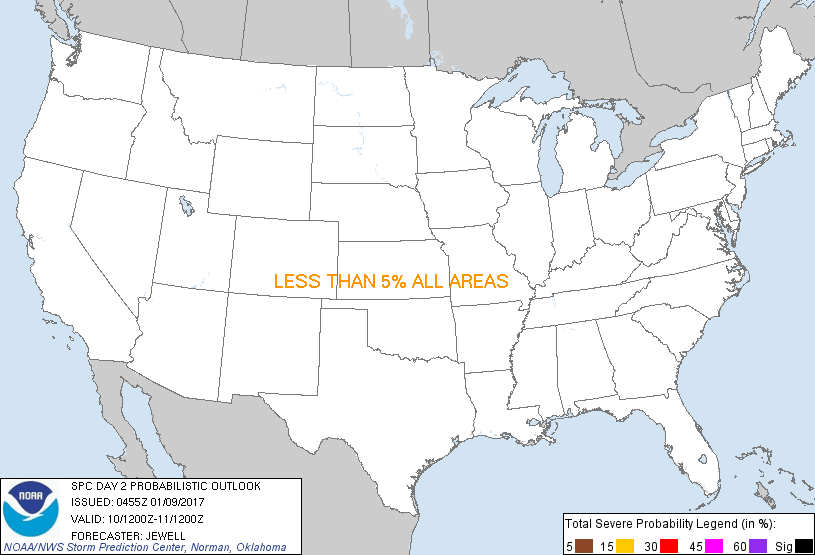
...NO SEVERE THUNDERSTORM AREAS FORECAST...
...SUMMARY...
A few thunderstorms are expected Tuesday evening and overnight
across the Lower Mississippi Valley into the Ohio Valley. Isolated
weak thunderstorms are also possible across northern California and
coastal Oregon.
...Synopsis and Discussion...
An intense shortwave trough will move quickly from the northern and
central Plains across the Upper MS Valley during the day, continuing
across eastern Ontario Tuesday night. At the surface, low pressure
will deepen as it moves from the Upper MS Valley Tuesday morning
into southern Ontario by 00Z Wednesday, with a cold front trailing
southwestward toward the Arklatex. Ahead of the front, low-level
moisture will increase into the 50s to lower 60s, but much of this
will be skin layer, with MLCAPE values quite low and capped during
the day. Warm advection with strong southwesterly 850 mb flow may
yield late day and overnight elevated thunderstorms from AR into the
OH Valley, but overall coverage is expected to be minimal. Strongly
forced shallow convection, perhaps without lightning, is possible
across parts of the Midwest with locally gusty winds.
To the west, another shortwave trough will move into northern CA
Tuesday night, with strong cooling aloft and lift in association
with the left exit region of the upper jet. Although wind profiles
will be strongly veering with height, instability will be minimal,
and severe weather is not expected. However, strong wind gusts are
likely especially in the higher terrain.
..Jewell.. 01/09/2017
CLICK TO GET WUUS02 PTSDY2 PRODUCT
NOTE: THE NEXT DAY 2 OUTLOOK IS SCHEDULED BY 1730Z
|