SPC AC 261653
Day 2 Convective Outlook
NWS Storm Prediction Center Norman OK
1053 AM CST Thu Jan 26 2017
Valid 271200Z - 281200Z
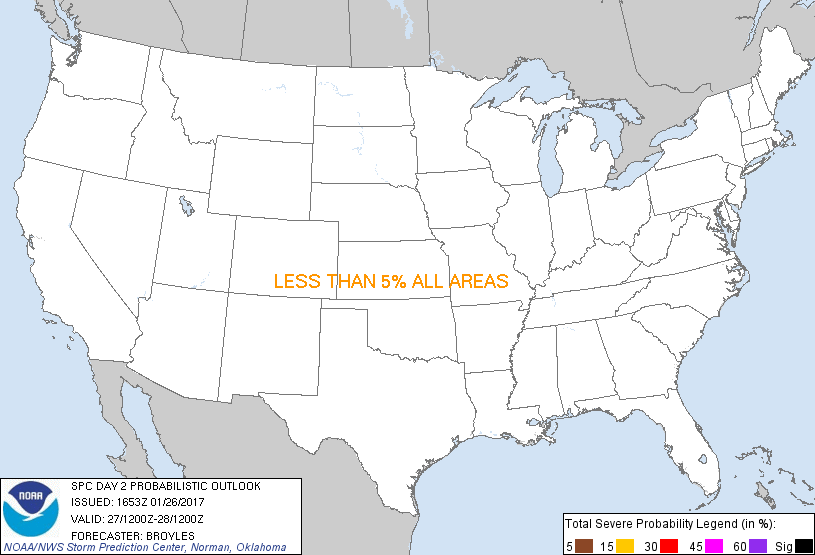
...NO THUNDERSTORM AREAS FORECAST...
...SUMMARY...
Thunderstorms are not expected across the continental United States
on Friday or Friday night.
An upper-level trough will move from the central part of the U.S.
into the southern and eastern states on Friday into Friday night. At
the surface, dry west to northwesterly flow will be in place across
much of the eastern two thirds of the continental United States. The
dry airmass will make conditions unfavorable for thunderstorm
activity across the U.S. on Friday and Friday night.
..Broyles.. 01/26/2017
CLICK TO GET WUUS02 PTSDY2 PRODUCT
NOTE: THE NEXT DAY 2 OUTLOOK IS SCHEDULED BY 0700Z
|