   SPC AC 291703

   Day 2 Convective Outlook
   NWS Storm Prediction Center Norman OK
   1103 AM CST Sun Jan 29 2017

   Valid 301200Z - 311200Z

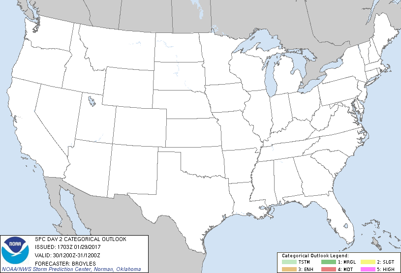
   ...NO THUNDERSTORM AREAS FORECAST...

   ...SUMMARY...
   No thunderstorms are expected over the U.S. on Monday and Monday
   night.

   An upper-level trough will move eastward across the Atlantic
   Seaboard on Monday as northwest mid-level flow becomes established
   across the central and eastern states. At the surface, high pressure
   will dominate in the Gulf Coast region helping to keep dry air in
   place across most of the contiguous United States. As a result,
   thunderstorms are not expected to develop across the U.S. on Monday
   or Monday night.

   ..Broyles.. 01/29/2017

   CLICK TO GET WUUS02 PTSDY2 PRODUCT

   NOTE: THE NEXT DAY 2 OUTLOOK IS SCHEDULED BY 0700Z
|

