   SPC AC 011627

   Day 2 Convective Outlook
   NWS Storm Prediction Center Norman OK
   1027 AM CST Wed Feb 01 2017

   Valid 021200Z - 031200Z

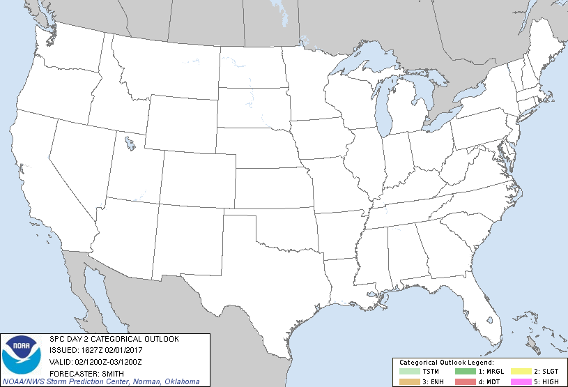
   ...NO THUNDERSTORM AREAS FORECAST...

   ...SUMMARY...
   Appreciable thunderstorm activity is not expected across the U.S. on
   Thursday.

   Forecaster thinking has not changed from the previous outlook.  For
   meteorological details, see the discussion below.

   ...Synopsis...
   Low-amplitude cyclonic flow aloft is forecast to prevail over
   roughly the eastern two-thirds of the U.S. this period, while
   ridging persists across the Western States ahead of a slowly
   advancing eastern Pacific low/trough.

   As this trough nears the West Coast, showers -- and perhaps a few
   embedded lightning strikes -- will affect portions of CA and OR, and
   possibly western NV and southern WA.

   Elsewhere, scattered showers may occur across portions of the Gulf
   Coast States, as a weak short-wave trough moves across the northern
   Gulf.  Lightning risk appears minimal at this time.

   ..Smith.. 02/01/2017

   CLICK TO GET WUUS02 PTSDY2 PRODUCT

   NOTE: THE NEXT DAY 2 OUTLOOK IS SCHEDULED BY 0700Z
|

