SPC AC 101703
Day 2 Convective Outlook
NWS Storm Prediction Center Norman OK
1103 AM CST Fri Feb 10 2017
Valid 111200Z - 121200Z
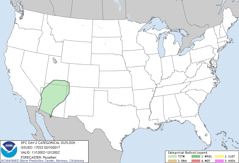
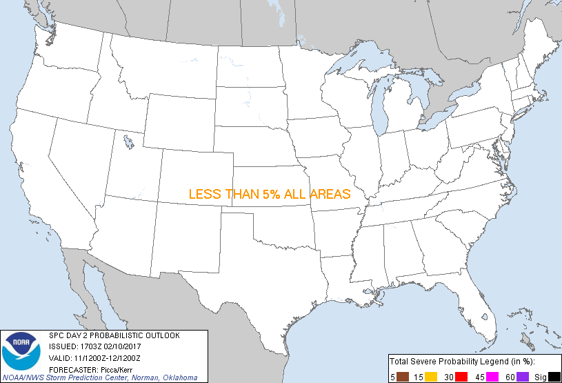
...NO SEVERE THUNDERSTORM AREAS FORECAST...
...SUMMARY...
Isolated thunderstorms will be possible late Saturday into Saturday
night across portions of the Desert Southwest. Severe thunderstorms
are not expected.
...Synopsis...
Confluent/fast mid-level flow will persist from the mid/upper
Mississippi Valley eastward to New England on Saturday. Farther
south, sub-tropical ridging will continue to influence much of the
Gulf Coast. Across the west, one impulse will translate across the
northern high Plains, while another over California will gradually
evolve into a closed low as it approaches the lower Colorado Valley.
At the surface, modest low-level moisture will return northward
across the southern Plains, in response to southerly flow on the
western edge of a high anchored off the southeast US coast. Across
the southern Great Basin, a front will gradually progress southeast,
as a ridge builds over the Pacific Northwest.
...Desert Southwest...
As the aforementioned California impulse approaches the region late
in the day, increasing DCVA will steepen mid-level lapse rates. In
combination with upslope/orographic influences, this forcing for
ascent should encourage the development of showers and a few
thunderstorms Saturday afternoon into the overnight, with the
highest potential likely across northwestern Arizona.
..Picca/Kerr.. 02/10/2017
CLICK TO GET WUUS02 PTSDY2 PRODUCT
NOTE: THE NEXT DAY 2 OUTLOOK IS SCHEDULED BY 0700Z
|