SPC AC 021705
Day 2 Convective Outlook
NWS Storm Prediction Center Norman OK
1205 PM CDT Mon Oct 02 2017
Valid 031200Z - 041200Z
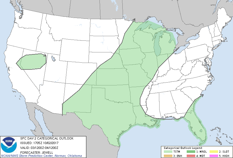
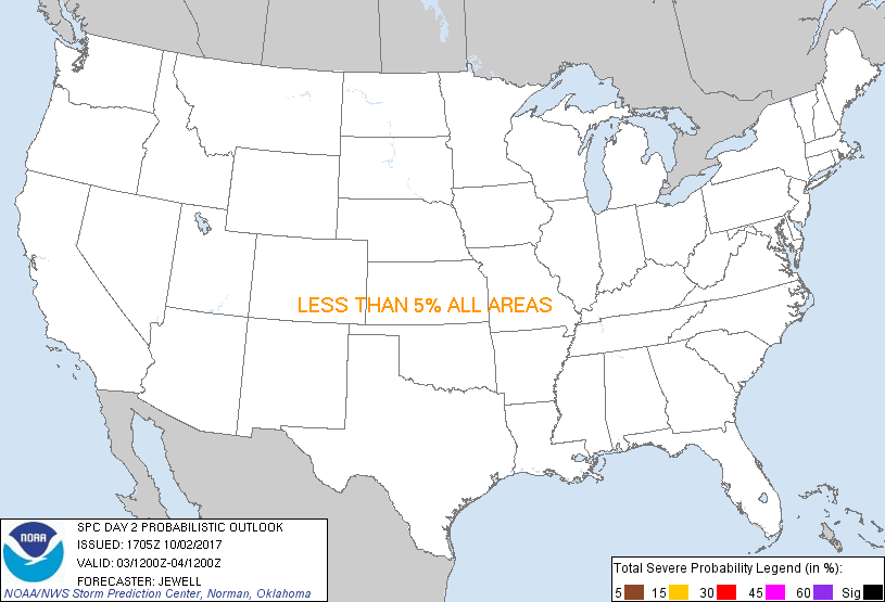
...NO SEVERE THUNDERSTORM AREAS FORECAST...
...SUMMARY...
Severe storms are not expected across the U.S. on Tuesday. However,
a few strong storms are possible over eastern New Mexico.
...Synopsis...
An upper ridge will shift from the Northeast into the Mid Atlantic,
extending southwestward into the southern Plains where heights will
be rising behind a shortwave trough to the north. This trough will
quickly deamplify across the northern Plains into the upper
Mississippi Valley, with a cold front shifting into the upper Great
Lakes and extending southwestward into the southern High Plains. Mid
to upper 60s dewpoints will prevail over the southern Plains, south
of the front. A large area of high pressure will remain situated
over much of the east and over the western Atlantic with broad zone
of moist easterly winds from Florida across the Gulf of Mexico and
into Plains.
...Southern High Plains northeastward across the Central Plains...
Moist easterly upslope flow will develop into eastern New Mexico
with weak lift due to terrain influences as well as the front over
northeastern New Mexico. Isolated late afternoon storms are
expected, but nothing very organized as temperatures aloft will be
warming and low-level flow will be weak. While a marginally severe
storm with hail cannot be ruled out, the threat appears too low to
upgrade at this time.
Farther north, storms will gradually develop mainly during the
evening from Kansas into Wisconsin due to glancing warm advection
near the boundary. Lift will be weak, but the moist and unstable air
mass will at least result in thunderstorms and rain.
..Jewell.. 10/02/2017
CLICK TO GET WUUS02 PTSDY2 PRODUCT
NOTE: THE NEXT DAY 2 OUTLOOK IS SCHEDULED BY 0600Z
|