SPC AC 150405
Day 2 Convective Outlook
NWS Storm Prediction Center Norman OK
1105 PM CDT Sat Oct 14 2017
Valid 161200Z - 171200Z
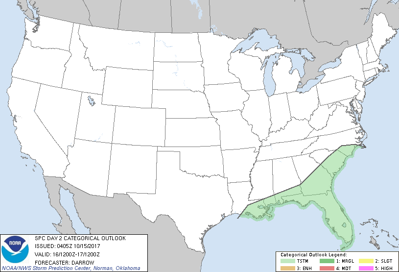
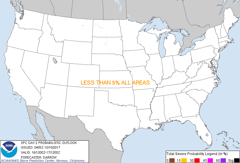
...NO SEVERE THUNDERSTORM AREAS FORECAST...
...SUMMARY...
Thunderstorms will be limited to portions of the Southeast Monday.
...Discussion...
Southern fringe of large-scale forcing will glance the Southeast
Monday as a pronounced trough shifts east of the Appalachians by
17/00z. Associated surface front will advance into the northern FL
Peninsula by mid afternoon where frontal convergence should be the
primary focus for convection and potential thunderstorm activity.
Models suggest surface-based convection will develop near the wind
shift but adequate lift atop the boundary should contribute to a few
elevated thunderstorms as well. Otherwise, isolated thunderstorms
are possible across the central/southern Peninsula during the day
when buoyancy will be maximized along sea-breeze boundaries.
..Darrow.. 10/15/2017
CLICK TO GET WUUS02 PTSDY2 PRODUCT
NOTE: THE NEXT DAY 2 OUTLOOK IS SCHEDULED BY 1730Z
|