SPC AC 251708
Day 2 Convective Outlook
NWS Storm Prediction Center Norman OK
1208 PM CDT Wed Oct 25 2017
Valid 261200Z - 271200Z
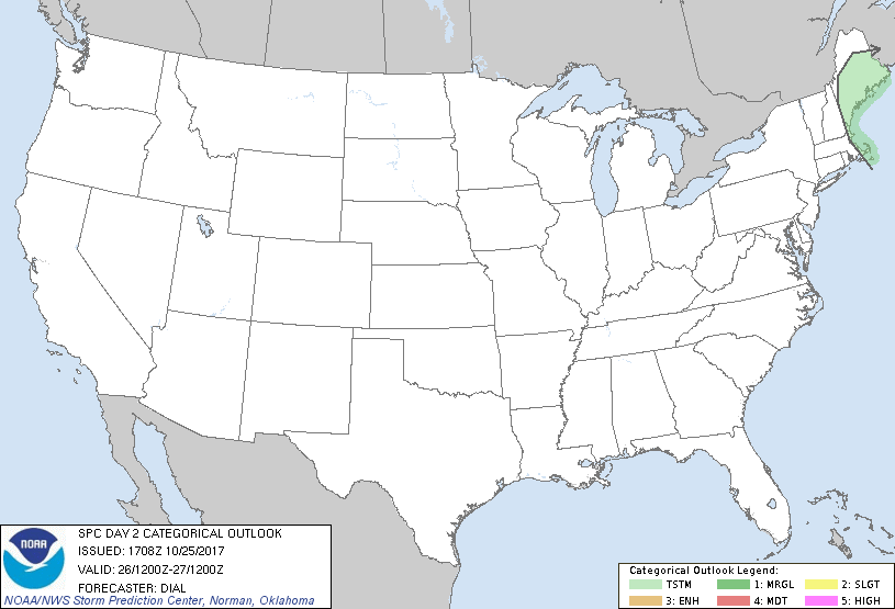
...NO SEVERE THUNDERSTORM AREAS FORECAST...
...SUMMARY...
No severe storms are expected across the U.S. Thursday through
Thursday night, but isolated thunderstorms will be possible over a
portion of New England.
...New England...
A significant shortwave trough will eject northward through New
England Thursday afternoon and evening. A few thunderstorms will be
possible, mainly in post-frontal regime and within evolving
deformation zone where deep forcing for ascent and steepening
mid-level lapse rates preceding the vorticity maximum will
contribute to renewed convective development by late afternoon.
..Dial.. 10/25/2017
CLICK TO GET WUUS02 PTSDY2 PRODUCT
NOTE: THE NEXT DAY 2 OUTLOOK IS SCHEDULED BY 0600Z
|