SPC AC 271702
Day 2 Convective Outlook
NWS Storm Prediction Center Norman OK
1202 PM CDT Fri Oct 27 2017
Valid 281200Z - 291200Z
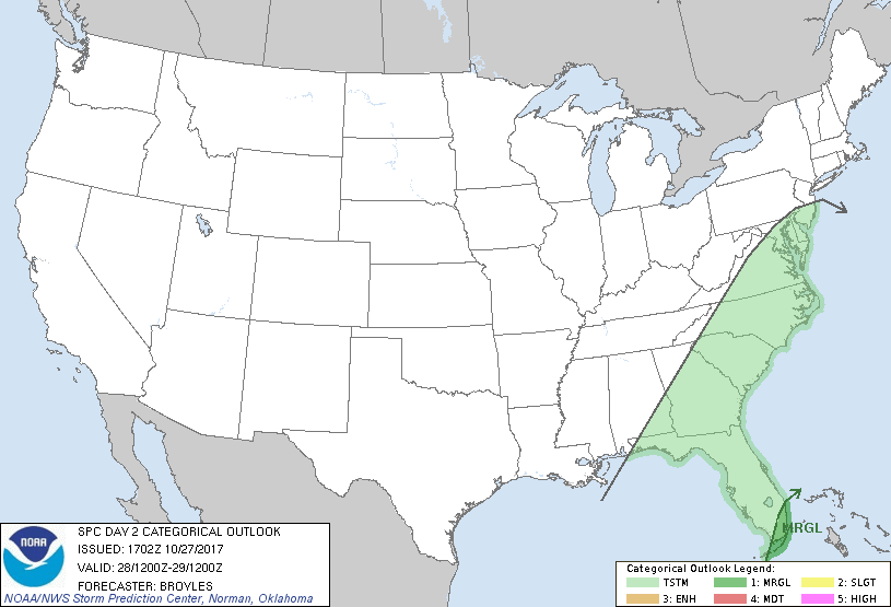
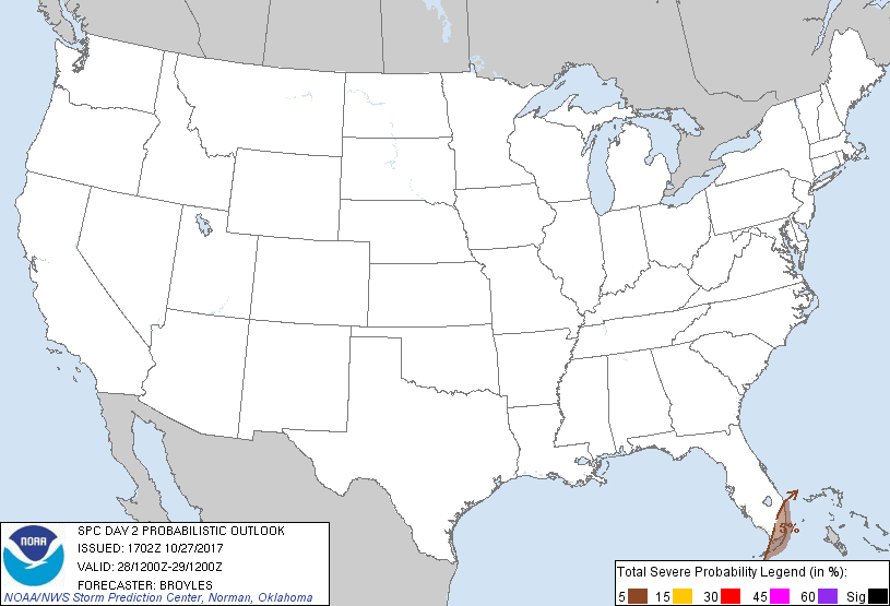
...THERE IS A MARGINAL RISK OF SEVERE THUNDERSTORMS ACROSS PARTS OF
SOUTH FLORIDA...
...SUMMARY...
Thunderstorms with a marginal risk of damaging wind gusts may impact
southern Florida and the Keys late Saturday afternoon into the
evening.
...South Florida...
An upper-level trough will move across the Mississippi Valley on
Saturday as southwest mid-level flow remains over much of the
Southeast. Low-level moisture advection will increase across the
Florida Peninsula on Saturday as heights fall ahead of the
approaching upper-level trough. In response, a moist airmass will
overtake south Florida with surface dewpoints increasing into the
upper 60s and lower 70s F range by Saturday evening. The potential
for thunderstorm development will gradually increase during the day
in response to the strengthening low-level flow. Forecast soundings
at Miami around 21Z on Saturday show MLCAPE values around 500 J/kg
with 0-6 km shear peaking near 30 kt. This along with the high
surface dewpoints should be enough for a few strong thunderstorms
capable of marginally severe wind gusts. The threat should continue
in the evening but should remain marginal.
..Broyles.. 10/27/2017
CLICK TO GET WUUS02 PTSDY2 PRODUCT
NOTE: THE NEXT DAY 2 OUTLOOK IS SCHEDULED BY 0600Z