SPC AC 280433
Day 2 Convective Outlook
NWS Storm Prediction Center Norman OK
1133 PM CDT Fri Oct 27 2017
Valid 291200Z - 301200Z
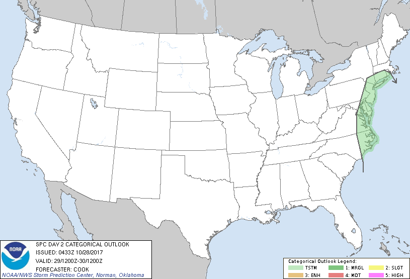
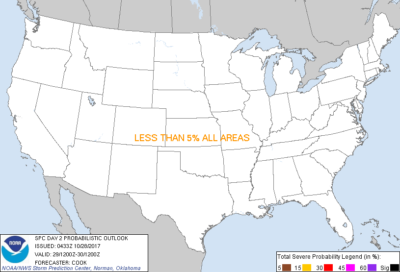
...NO SEVERE THUNDERSTORM AREAS FORECAST...
...SUMMARY...
Severe storms are not expected over the continental U.S. Sunday.
...Mid Atlantic through New England...
A strong shortwave - initially centered across the Ohio and
Tennessee Valleys - will strengthen while taking on a negative tilt
across the southern Appalachians. A very strong (80-90 kt)
mid-level jet will eject around the base of this trough and along
the coast of the Carolinas throughout the day.
At the surface, a trough initially located along an axis from
central Pennsylvania southward to the Gulf Stream will shift
eastward over time as a coastal low quickly organizes and moves
northward to near southeastern New York State by the end of the
period. Along and ahead of this surface trough/coastal low, low-60s
F dewpoints will aid in development of very marginal buoyancy, which
should be limited due to poor lapse rates. A few thunderstorms are
possible, although any severe wind risk should be limited and shift
quickly offshore during the early morning hours.
..Cook.. 10/28/2017
CLICK TO GET WUUS02 PTSDY2 PRODUCT
NOTE: THE NEXT DAY 2 OUTLOOK IS SCHEDULED BY 1730Z
|