SPC AC 020340
Day 2 Convective Outlook
NWS Storm Prediction Center Norman OK
1040 PM CDT Wed Nov 01 2017
Valid 031200Z - 041200Z
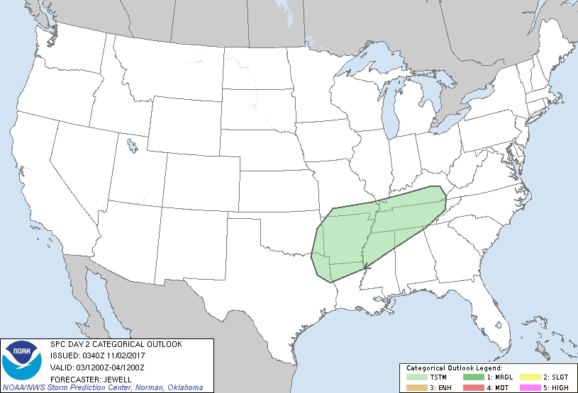
...NO SEVERE THUNDERSTORM AREAS FORECAST...
...SUMMARY...
A few thunderstorms are possible from the Arklatex into Kentucky and
Tennessee on Friday.
...Synopsis and Discussion...
A broad upper trough will lift out of the Northeast with primarily
zonal flow across the Plains. To the west, a broad area of
southwesterly flow aloft will exist as northern and southern stream
jets merge. Meanwhile, an upper high will be situated over Mexico,
with a weakening shortwave rounding the ridge across the lower MS
Valley.
At the surface, high pressure will build eastward across the Great
Lakes in the wake of the upper trough, with a residual/dying
boundary across the OH Valley. A large area of mid to upper 60s
dewpoints will exist over much of TX, and into the lower MS Valley.
Daytime heating will result in an unstable, but mostly capped air
mass over this region. Lift will be meager, perhaps focused along
the dying front over KY and TN where scattered storms are expected.
Here, shear will be weak with only locally strong wind gusts
possible.
Elsewhere, isolated late afternoon storms are possible across the
Arklatex, beneath the cool pocket aloft, but again, lift will be
weak and there will be a capping inversion. Hail will conditionally
be possible here.
..Jewell.. 11/02/2017
CLICK TO GET WUUS02 PTSDY2 PRODUCT
NOTE: THE NEXT DAY 2 OUTLOOK IS SCHEDULED BY 1730Z
|