SPC AC 070643
Day 2 Convective Outlook
NWS Storm Prediction Center Norman OK
1243 AM CST Tue Nov 07 2017
Valid 081200Z - 091200Z
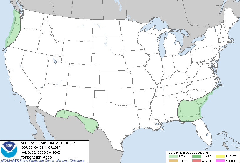
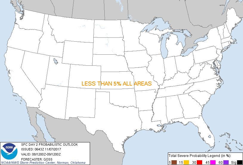
...NO SEVERE THUNDERSTORM AREAS FORECAST...
...SUMMARY...
Severe storms are not expected across the U.S. Wednesday.
...Synopsis...
A positively tilted mid-level trough will continue advancing
southeast across the central and eastern U.S. Wednesday/Day 2, while
a second system -- a large low off the Pacific Northwest coast --
drifts eastward and begins to nose inland. Finally, a short-wave
trough -- embedded within cyclonic flow around a large Hudson Bay
vortex -- is forecast to progress east-southeast across the northern
Plains and upper Great Lakes through the end of the period.
At the surface, a clipper-type front is forecast shift across the
north-central U.S. and Great Lakes in conjunction with the
aforementioned upper feature. Meanwhile, a front lingering near the
Gulf Coast will continue sliding slowly southward into the Gulf of
Mexico. Finally, a low -- barotropically aligned beneath the upper
vortex -- will linger off the Pacific Northwest coast.
Widespread showers are expected across parts of the western U.S. as
the eastern Pacific storm system approaches. A few lightning
strikes may also occur, mainly late in the period over the higher
terrain of the Pacific Northwest. Meanwhile, showers are also
forecast near and to the cool side of the southern U.S. surface
front. A thunderstorm or two may also occur within this zone --
both across the southern New Mexico/West Texas vicinity in
conjunction with an advancing upper wave, and over the southeast
U.S. where some elevated CAPE may linger. In both areas, convection
is forecast to remain weak/disorganized.
..Goss.. 11/07/2017
CLICK TO GET WUUS02 PTSDY2 PRODUCT
NOTE: THE NEXT DAY 2 OUTLOOK IS SCHEDULED BY 1730Z
|