SPC AC 011722
Day 2 Convective Outlook
NWS Storm Prediction Center Norman OK
1122 AM CST Fri Dec 01 2017
Valid 021200Z - 031200Z
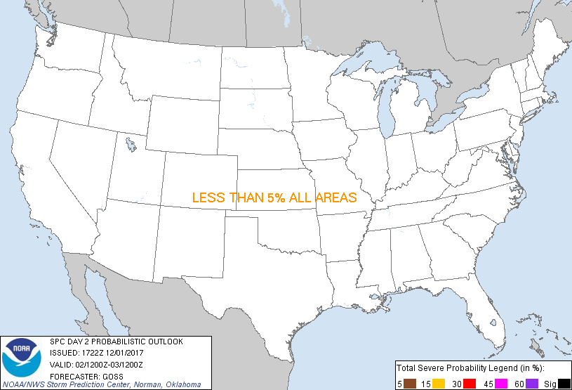
...NO SEVERE THUNDERSTORM AREAS FORECAST...
...SUMMARY...
Isolated thunderstorms are possible across the coastal Pacific
Northwest Saturday.
...Synopsis...
Modest amplification of the upper flow field across the U.S. will
occur Saturday, as a trough initially off the West Coast digs
southeastward/onshore. In response, a weak increase in ridging over
the central U.S. will occur, in the wake of short-wave troughing
crossing the eastern U.S./western Atlantic.
At the surface, high pressure will largely prevail across the
country, though a cold front will shift across the northwestern
states with time in conjunction with the onshore advance of the
upper system.
With cold air aloft overspreading the Pacific Northwest area,
showers -- and a few/occasional/embedded mainly post-frontal
thunderstorms may also occur, particularly over the coastal ranges.
Elsewhere, appreciable risk for lightning is not indicated across
the remainder of the country.
..Goss.. 12/01/2017
CLICK TO GET WUUS02 PTSDY2 PRODUCT
NOTE: THE NEXT DAY 2 OUTLOOK IS SCHEDULED BY 0700Z
|