SPC AC 020532
Day 2 Convective Outlook
NWS Storm Prediction Center Norman OK
1132 PM CST Fri Dec 01 2017
Valid 031200Z - 041200Z
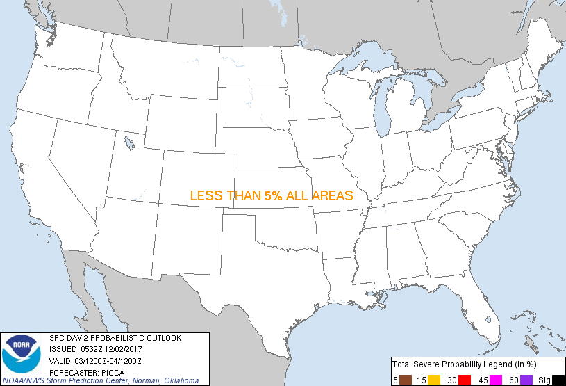
...NO THUNDERSTORM AREAS FORECAST...
...SUMMARY...
The potential for thunderstorms appears low across the United States
Sunday.
...Discussion...
Amplification of the mid/upper height field is expected Sunday, as
several impulses advance generally east across the western US,
yielding broad cyclonic flow from the Pacific Coast to the upper
Midwest by the end of the period. Associated with this evolution, a
strong west/southwesterly jet and associated large-scale ascent will
overspread portions of the central Rockies by Sunday evening. As it
does so, a cold front will push east/southeast across
Wyoming/Colorado. Surface convergence, combined with the
aforementioned mass ascent, will be sufficient for isolated
convection. However, forecast soundings show only very weak/shallow
buoyancy; therefore, while there may be a lightning strike or two, a
general-thunder area is not introduced at this time.
A shortwave trough crossing southern/central Texas may interact with
surface-based buoyancy to generate a few showers Sunday. Several
layers of subsidence aloft will likely keep most updrafts too weak
for lightning generation, though.
..Picca.. 12/02/2017
CLICK TO GET WUUS02 PTSDY2 PRODUCT
NOTE: THE NEXT DAY 2 OUTLOOK IS SCHEDULED BY 1730Z
|