SPC AC 081629
Day 2 Convective Outlook
NWS Storm Prediction Center Norman OK
1029 AM CST Fri Dec 08 2017
Valid 091200Z - 101200Z
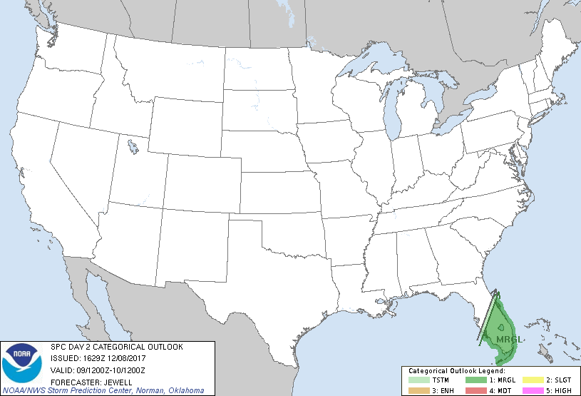
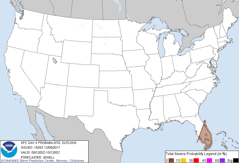
...THERE IS A MARGINAL RISK OF SEVERE THUNDERSTORMS MUCH OF SOUTHERN
FLORIDA...
...SUMMARY...
A few severe thunderstorms with damaging winds are possible morning
through midday on Saturday across southern Florida.
...Synopsis and Discussion...
A highly amplified pattern will exist on Saturday with an upper high
over the West, and an extensive upper trough across eastern North
America. A cold front will be located over central Florida Saturday
morning, and will rapidly progress offshore by late afternoon. A
moist air mass will exist ahead of the front, contributing to
sufficient instability for a few severe storms. Damaging winds are
most likely with the linear storm mode along the front. It should be
noted that the likelihood of ongoing convection near the front lends
some uncertainty as to the timing of frontal passage, as outflow can
accelerate the boundary faster than expected.
..Jewell.. 12/08/2017
CLICK TO GET WUUS02 PTSDY2 PRODUCT
NOTE: THE NEXT DAY 2 OUTLOOK IS SCHEDULED BY 0700Z