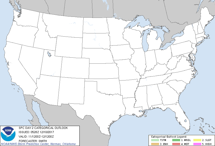
Dec 10, 2017 0700 UTC Day 2 Convective Outlook
Updated: Sun Dec 10 05:28:48 UTC 2017 (20171210 0700Z Day 2 shapefile | 20171210 0700Z Day 2 KML)
Probabilistic to Categorical Outlook Conversion Table
Categorical Graphic
20171210 0700 UTC Day 2 Outlook Graphic
Day 2 Risk Area (sq. mi.) Area Pop. Some Larger Population Centers in Risk Area
No Risk Areas Forecast
Probabilistic Graphic
20171210 0700 UTC Day Probabilitic Graphic
Probability of severe weather within 25 miles of a point.
Hatched Area: 10% or greater probability of significant severe within 25 miles of a point.
Day 2 Prob. Risk Area (sq. mi.) Area Pop. Some Larger Population Centers in Risk Area
No Risk Areas Forecast
   SPC AC 100528

   Day 2 Convective Outlook  
   NWS Storm Prediction Center Norman OK
   1128 PM CST Sat Dec 09 2017

   Valid 111200Z - 121200Z

   ...NO THUNDERSTORM AREAS FORECAST...

   ...SUMMARY...
   Thunderstorms are not forecast across the Lower 48 states on Monday.

   ...Synopsis...
   A series of two rapidly-translating and southeastward-moving
   shortwave troughs over the Midwest and Great Lakes will act to
   reinforce a larger-scale longwave trough over the eastern states on
   Monday.  Dry/stable conditions will prevail over almost all of the
   contiguous U.S.

   ..Smith.. 12/10/2017

   CLICK TO GET WUUS02 PTSDY2 PRODUCT

   NOTE: THE NEXT DAY 2 OUTLOOK IS SCHEDULED BY 1730Z