   SPC AC 251722

   Day 2 Convective Outlook
   NWS Storm Prediction Center Norman OK
   1122 AM CST Mon Dec 25 2017

   Valid 261200Z - 271200Z

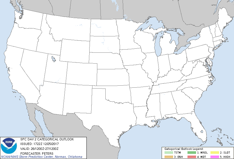
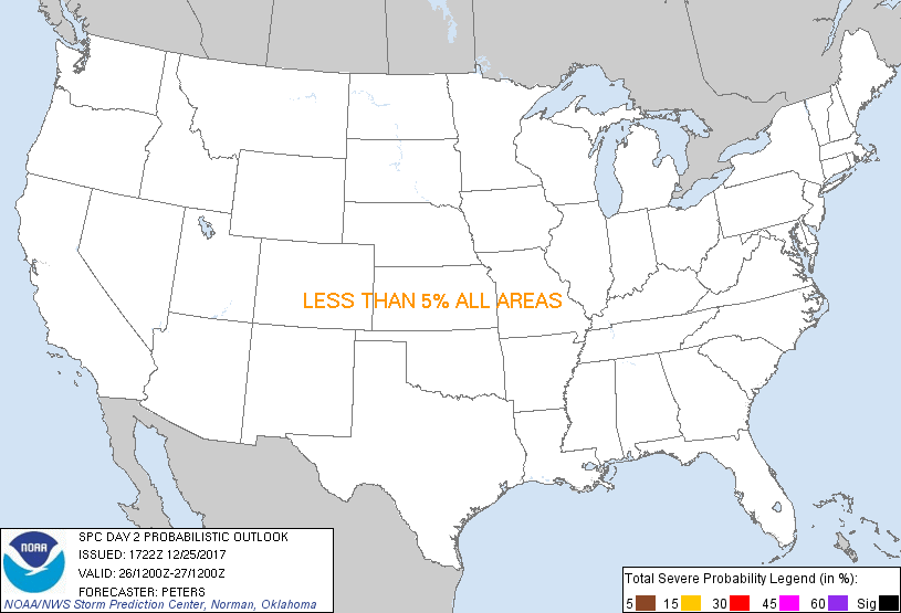
   ...NO THUNDERSTORM AREAS FORECAST...

   ...SUMMARY...
   Thunderstorm threat is negligible Tuesday.

   ...Discussion...
   Broad northwesterly flow will continue through Tuesday which will
   encourage another reinforcing continental air mass to settle into
   the Midwest.  Meanwhile, a lobe of vorticity that likely emanated
   from a mid-upper level cyclone centered southwest of southern Baja
   is expected to track east from northern Mexico through the northern
   Gulf of Mexico during Day 2.

   ...Northwest Gulf Coast...
   The western extent of a cold front that moved into the southern Gulf
   Basin today will be advancing northward into the northwest Gulf on
   Tuesday.  Weak forcing for ascent attendant to the northern Mexico
   vorticity lobe should aid in an area of low pressure tracking
   northeast off the southern and middle TX Coast to south of LA by 12Z
   Wednesday.  This front will mark the poleward return of modified
   Gulf moisture, while southerly low-level flow/warm advection is
   expected to encourage convective development.  A stable environment
   over inland areas, north of the front, will preclude thunderstorm
   development.  A greater potential for some thunderstorm occurrence
   should be found over the northwest Gulf, where greater moisture will
   support buoyancy sufficiently deep for thunderstorms.

   ...Great Lakes...
   Steep low-level lapse rates, on the order of 7-8 C/km through 3km,
   are expected to extend from eastern Lake Superior, across Lake Huron
   to Lake Ontario.  Models maintain this thermodynamic environment
   suggesting lake convection will be likely along this corridor and an
   isolated lightning strike can not be ruled out. However,
   probabilities are less than 10% with these snow bands.

   ..Peters.. 12/25/2017

   CLICK TO GET WUUS02 PTSDY2 PRODUCT

   NOTE: THE NEXT DAY 2 OUTLOOK IS SCHEDULED BY 0700Z
|

