   SPC AC 130422

   Day 3 Convective Outlook
   NWS Storm Prediction Center Norman OK
   1122 PM CDT Sun Mar 12 2017

   Valid 151200Z - 161200Z

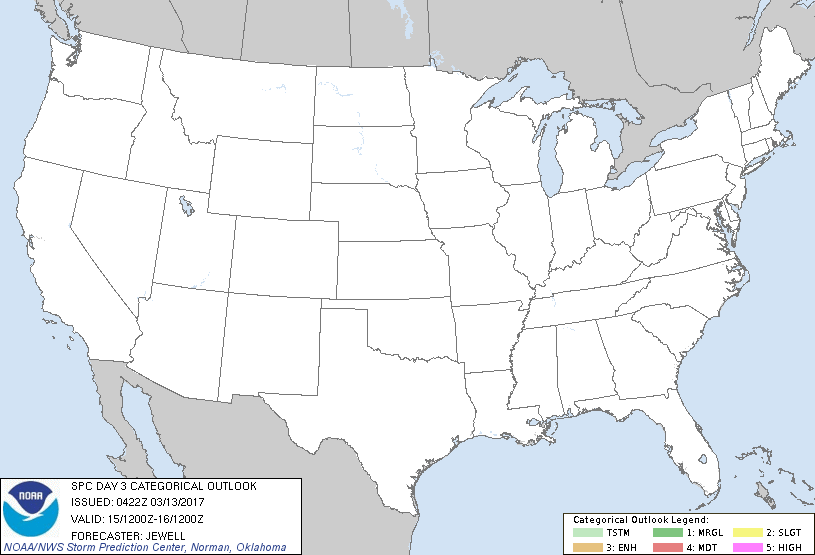
   ...NO THUNDERSTORM AREAS FORECAST...

   ...SUMMARY...
   Thunderstorms are not expected across the USA on Wednesday.

   ...Synopsis...
   With a large area of cyclonic flow aloft enveloping the northeast, a
   surface high will settle into the OH/TN valleys, providing stable
   air across most of the central and eastern states. The exception
   will be across central and southern TX, where southerly surface
   winds around the high will begin to bring 50s to near 60 dewpoints
   into the region. Despite some moistening, the air mass is expected
   to remain capped, and with little to favor lift except weak warm
   advection.

   To the west, an upper trough will move across the Pacific northwest
   with strong cooling aloft and widespread showers likely. However,
   any instability will be very weak, and storms are unlikely.

   ..Jewell.. 03/13/2017

   CLICK TO GET WUUS03 PTSDY3 PRODUCT

   NOTE: THE NEXT DAY 3 OUTLOOK IS SCHEDULED BY 0730Z
|

