SPC AC 060720
Day 3 Convective Outlook
NWS Storm Prediction Center Norman OK
0220 AM CDT Wed Sep 06 2017
Valid 081200Z - 091200Z
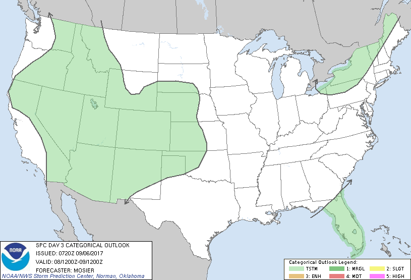
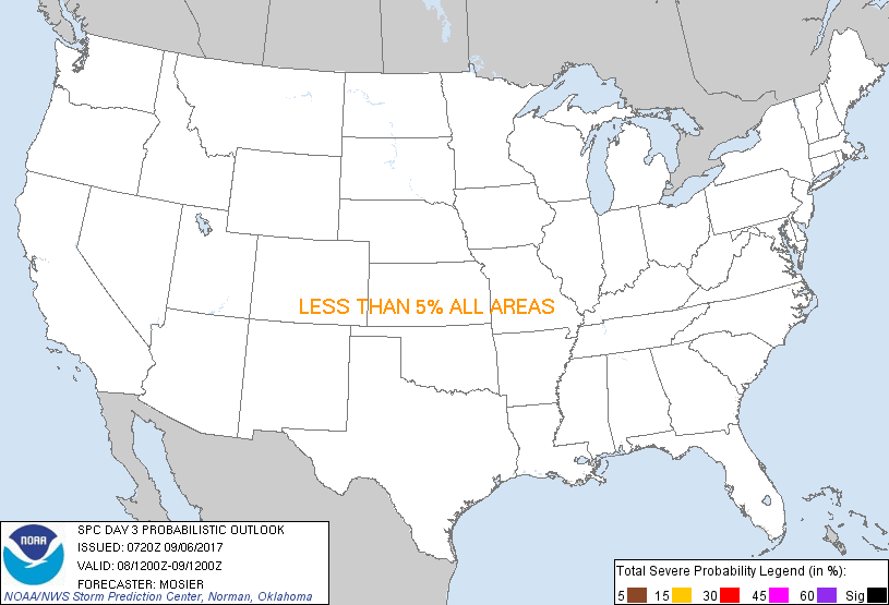
...NO SEVERE THUNDERSTORM AREAS FORECAST...
...SUMMARY...
Isolated to scattered thunderstorms are possible over many areas
west of the Plains Friday afternoon and evening. Severe
thunderstorms are not currently anticipated.
...Synopsis...
Upper trough over the Great Lakes and Northeast at the beginning of
the period will continue to drift northeastward as a series
shortwaves rotate through its base. Upper ridging from the southern
Plains into the northern Rockies will remain largely in place,
resulting in an omega block. As a result, developing upper low off
the northern CA coast will move little during the period. Primary
feature of interest will be Hurricane Irma. The center of Irma is
expected to be off the northeastern coast of Cuba at 00Z/Saturday.
Official and most up-to-date forecast information is available from
the National Hurricane Center.
...FL Peninsula...
The westward progress of Hurricane Irma will have a large impact on
whether or not the FL peninsula experiences an environment conducive
to tropical cyclone tornadoes during the period. Current guidance
suggests the system will be too far east/southeast of the FL
peninsula to support a tornado threat. However, updates may be
needed in subsequent forecasts if the forecast track of the
hurricane indicates it will be closer to the southern FL peninsula
during the period.
...Central High Plains...
Surface lee troughing is expected sharpen across the High Plains on
Friday with the resulting southeasterly upslope flow beneath
northwesterly flow aloft contributing to moderate shear across the
central High Plains. Modest low-level moisture (i.e. dewpoints in
the low 50s) and warm mid-level temperatures are currently forecast,
which, despite above-average surface temperatures, keeps the chances
for daytime convective initiation low. A dynamically enhanced
low-level jet will develop during the evening and persist overnight.
WAA associated with this jet may support thunderstorm development
but, as with the daytime convection, scant low-level moisture
results in a relatively low probability for storms.
..Mosier.. 09/06/2017
CLICK TO GET WUUS03 PTSDY3 PRODUCT
NOTE: THE NEXT DAY 3 OUTLOOK IS SCHEDULED BY 0730Z
|