SPC AC 020715
Day 3 Convective Outlook
NWS Storm Prediction Center Norman OK
0115 AM CST Sat Dec 02 2017
Valid 041200Z - 051200Z
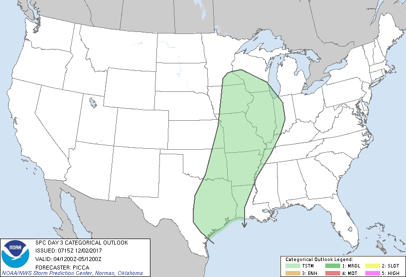
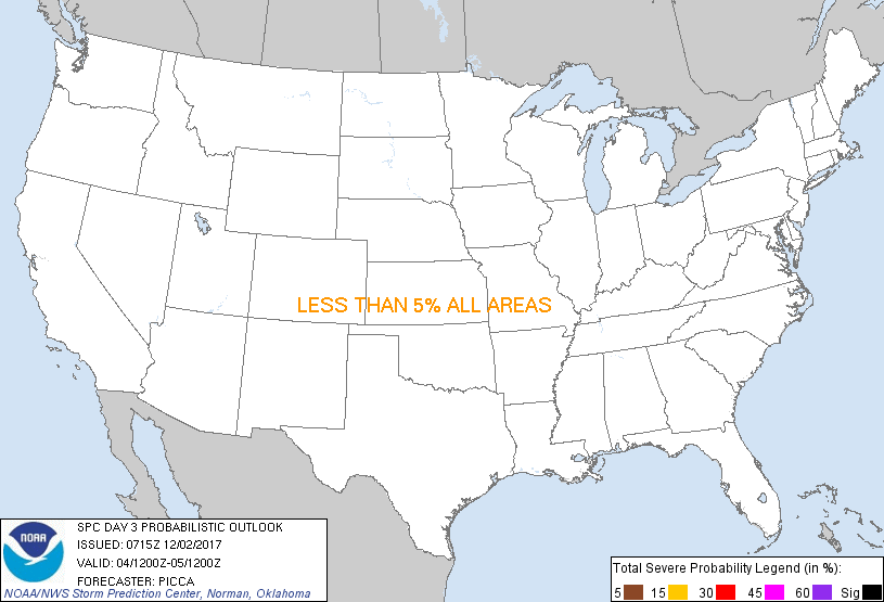
...NO SEVERE THUNDERSTORM AREAS FORECAST...
...SUMMARY...
Thunderstorms will be possible from the western Gulf Coast to the
upper Midwest Monday.
...Discussion...
A deep, broad area of cyclonic mid/upper flow will develop across
much of the western half/two-thirds of the country Monday, as
multiple impulses rotate around the periphery of this flow regime.
One of these impulses will be in the form of a rather stout
shortwave trough lifting northeast from the central Plains towards
the upper Great Lakes. Along its southern/eastern periphery, a
corridor of strong west/southwesterly 500mb winds will organize from
the southern Plains to the Great Lakes. Meanwhile, a surface cyclone
will lift northeast towards Lake Superior, and an attendant surface
front will accelerate east/southeast towards the Mississippi Valley.
Ahead of this front, low-level moisture will return northward, with
surface dew points in the upper 50s/lower 60s likely reaching parts
of the Ozarks during the day. Most guidance suggests heating ahead
of the front will not be particularly strong, limiting surface-based
buoyancy generally at or below 500 J/kg. However, while a small
range of uncertainty, CAPE on the upper end of this potential could
yield at least a marginal strong-wind threat with a broken/shallow
convective line ahead of the front, considering the strength of the
ambient wind field. There remains considerable uncertainty with the
amount of low-level destabilization expected, though, such that no
severe probabilities are introduced at this time. Regardless, some
low-topped thunderstorms from Texas northward to the mid Mississippi
Valley could produce gusty winds late Monday into the overnight
hours.
..Picca.. 12/02/2017
CLICK TO GET WUUS03 PTSDY3 PRODUCT
NOTE: THE NEXT DAY 3 OUTLOOK IS SCHEDULED BY 0830Z
|