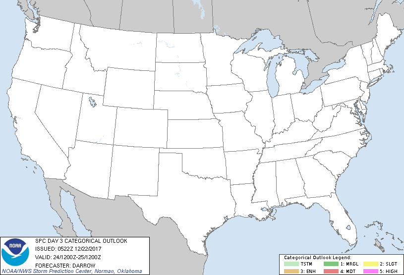
   SPC AC 220522

   Day 3 Convective Outlook
   NWS Storm Prediction Center Norman OK
   1122 PM CST Thu Dec 21 2017

   Valid 241200Z - 251200Z

   ...NO THUNDERSTORM AREAS FORECAST...

   ...SUMMARY...
   Thunderstorm probabilities are less than 10% Sunday.

   ...Southeast...

   Large-scale heights are expected to fall across much of the central
   and eastern US into the day3 period as a mid-level trough broadens
   across this region Sunday. Associated surface front will advance off
   the southeast coast with only minimal forcing expected to skirt this
   region. Poor lapse rates and weak buoyancy should limit convective
   depth along the wind shift and the probability for lightning with
   any showers is less than 10%.

   ..Darrow.. 12/22/2017

   CLICK TO GET WUUS03 PTSDY3 PRODUCT

   NOTE: THE NEXT DAY 3 OUTLOOK IS SCHEDULED BY 0830Z
|

