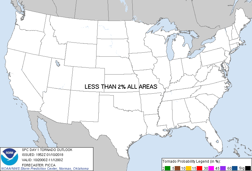
Probability of a tornado within 25 miles of a point. Hatched Area: 10% or greater probability of EF2 - EF5 tornadoes within 25 miles of a point.
Day 1 Tornado Risk
Area (sq. mi.)
Area Pop.
Some Larger Population Centers in Risk Area
No Risk Areas Forecast
Probabilistic Damaging Wind Graphic
Probability of damaging thunderstorm winds or wind gusts of 50 knots or higher within 25 miles of a point. Hatched Area: 10% of greater probability of wind gusts 65 knots or greater within 25 miles of a point.
Day 1 Wind Risk
Area (sq. mi.)
Area Pop.
Some Larger Population Centers in Risk Area
No Risk Areas Forecast
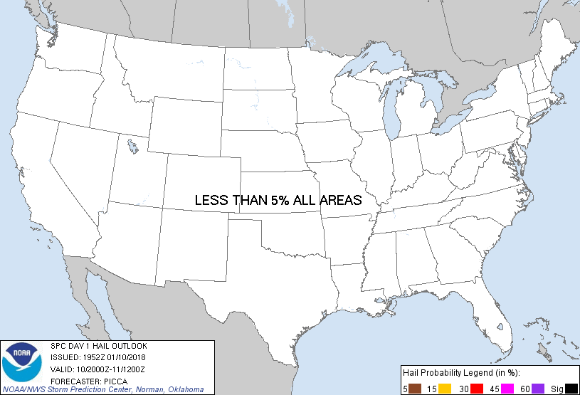
Probabilistic Large Hail Graphic
Probability of hail 1" or larger within 25 miles of a point. Hatched Area: 10% or greater probability of hail 2" or larger within 25 miles of a point.
Day 1 Hail Risk
Area (sq. mi.)
Area Pop.
Some Larger Population Centers in Risk Area
No Risk Areas Forecast
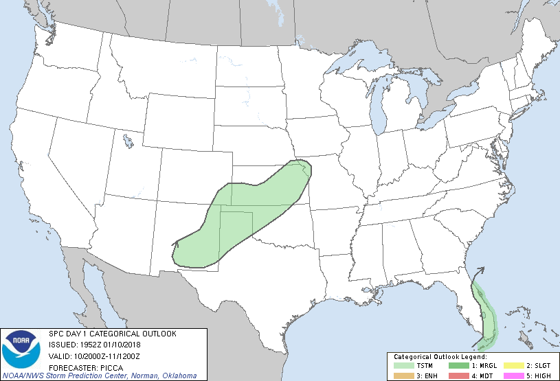
   SPC AC 101952

   Day 1 Convective Outlook
   NWS Storm Prediction Center Norman OK
   0152 PM CST Wed Jan 10 2018

   Valid 102000Z - 111200Z

   ...NO SEVERE THUNDERSTORM AREAS FORECAST...

   ...SUMMARY...
   A few thunderstorms are possible late this afternoon through tonight
   from southern/eastern New Mexico northeastward across the central
   Plains. Isolated thunderstorms also remain possible across primarily
   the eastern Florida Peninsula through early evening.

   ...Discussion...
   Only minor changes have been made to both ongoing thunder areas. A
   couple thunderstorms will continue from the Florida Keys to near the
   Space Coast for a few more hours, before conditions stabilize
   sufficiently to minimize convective development.

   Isolated thunderstorms will develop later this evening across the
   southern high Plains, aided by ascent ahead of a compact shortwave
   trough currently over southern New Mexico. Through the overnight,
   this convective activity will lift northeast towards the Missouri
   Valley.

   ..Picca.. 01/10/2018

   .PREV DISCUSSION... /ISSUED 0956 AM CST Wed Jan 10 2018/

   ...Southern and Central Plains...
   The center of a vigorous mid-level disturbance (currently centered
   over northeastern Arizona) will continue to migrate eastward across
   the southern Rockies today.  Scattered convection near/ahead of the
   wave will be capable of producing occasional lightning strikes over
   New Mexico throughout the day as mid-level cooling results in around
   100-250 J/kg of mid-level instability in that area.

   Later this evening and into the overnight hours, the wave will
   migrate northeastward into western Oklahoma.  Low-level cyclogenesis
   will also occur, increasing convergence across Kansas and warm
   advection south/east of the front.  Lift/cooling aloft with the
   approach of the wave will foster scattered thunderstorms near the
   mid-level wave from the Oklahoma/Texas Panhandles northeastward into
   far northwestern Missouri.

   ...Eastern Florida...
   The combination of a very slow-moving mid-level low near the Florida
   Keys and mid to upper-60s F dewpoints will support occasional
   isolated thunderstorm activity persisting well into the overnight
   hours - especially near coastal areas.

   CLICK TO GET WUUS01 PTSDY1 PRODUCT

   NOTE: THE NEXT DAY 1 OUTLOOK IS SCHEDULED BY 0100Z