SPC AC 120038
Day 1 Convective Outlook
NWS Storm Prediction Center Norman OK
0638 PM CST Thu Jan 11 2018
Valid 120100Z - 121200Z
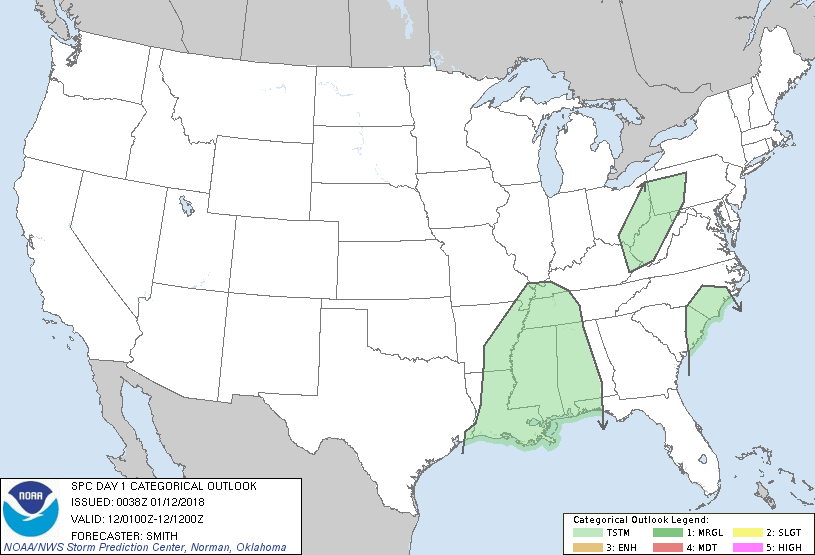
...NO SEVERE THUNDERSTORM AREAS FORECAST...
...SUMMARY...
Organized severe thunderstorms are not forecast through tonight
across the Lower 48 states.
...Synopsis...
Several migratory shortwave troughs are moving through a
progressive-flow regime over the contiguous U.S. The most notable
of which is located over eastern TX and is forecast to move across
the lower MS Valley and central Gulf Coast through early Friday
morning. In conjunction with the mid-level trough, a cold front
this evening will continue to push southeastward through much of the
lower MS Valley. A weak convective band of showers and
thunderstorms will likely continue to persist-- due in part to
strong forcing for ascent-- through much of the evening in the lower
MS Valley as it moves east. The observed 00Z raobs at Slidell, LA
and Jackson, MS show scant buoyancy in the pre-frontal warm sector.
Given the limited thermodynamic potential for thunderstorm activity,
severe thunderstorms are not expected. Nonetheless, a sub-severe
but strong/damaging gust cannot be ruled out in the vicinity of the
I-10 corridor tonight, as the convective line moves east, in
proximity to slightly richer moisture advancing northward over the
shelf waters from the mouth of the Atchafalaya River east to Mobile
Bay.
Elsewhere, a few general thunderstorms are possible over the central
Appalachians and coastal Carolinas later tonight.
..Smith.. 01/12/2018
CLICK TO GET WUUS01 PTSDY1 PRODUCT
NOTE: THE NEXT DAY 1 OUTLOOK IS SCHEDULED BY 0600Z
|