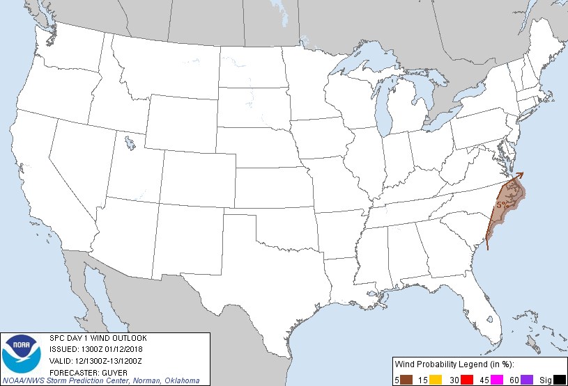
Wilmington, NC...Greenville, NC...Jacksonville, NC...Myrtle Beach, SC...New Bern, NC...
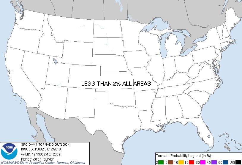
Probabilistic Tornado Graphic
Probability of a tornado within 25 miles of a point. Hatched Area: 10% or greater probability of EF2 - EF5 tornadoes within 25 miles of a point.
Day 1 Tornado Risk
Area (sq. mi.)
Area Pop.
Some Larger Population Centers in Risk Area
No Risk Areas Forecast
Probabilistic Damaging Wind Graphic
Probability of damaging thunderstorm winds or wind gusts of 50 knots or higher within 25 miles of a point. Hatched Area: 10% of greater probability of wind gusts 65 knots or greater within 25 miles of a point.
Day 1 Wind Risk
Area (sq. mi.)
Area Pop.
Some Larger Population Centers in Risk Area
5 %
19,011
1,603,942
Wilmington, NC...Greenville, NC...Jacksonville, NC...Myrtle Beach, SC...New Bern, NC...
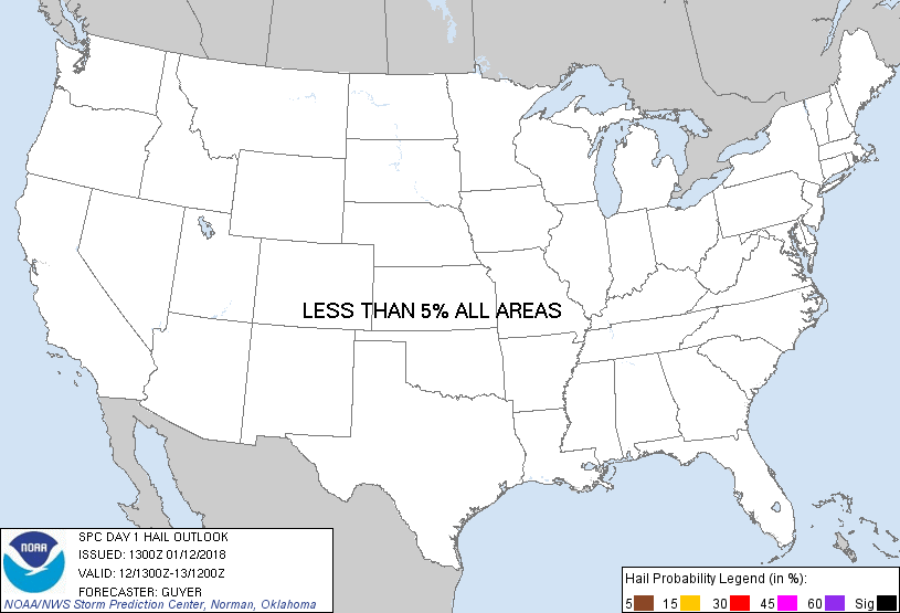
Probabilistic Large Hail Graphic
Probability of hail 1" or larger within 25 miles of a point. Hatched Area: 10% or greater probability of hail 2" or larger within 25 miles of a point.
Day 1 Hail Risk
Area (sq. mi.)
Area Pop.
Some Larger Population Centers in Risk Area
No Risk Areas Forecast
SPC AC 121300
Day 1 Convective Outlook
NWS Storm Prediction Center Norman OK
0700 AM CST Fri Jan 12 2018
Valid 121300Z - 131200Z
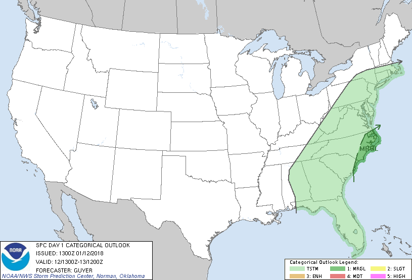
...THERE IS A MARGINAL RISK OF SEVERE THUNDERSTORMS ACROSS PARTS OF
THE CAROLINAS...
...SUMMARY...
A few strong to severe thunderstorms will be possible mainly across
the coastal Carolinas tonight.
...Synopsis...
A southern-stream trough centered over the Lower Mississippi Valley
and north-central Gulf of Mexico early this morning will continue
eastward today and then accelerate northeastward tonight toward the
Carolinas and mid-Atlantic States. A strong cold front will continue
a steady general eastward advancement today across the Appalachians
and toward the coastal Mid-Atlantic tonight when more appreciable
surface cyclogenesis is expected in the lee of the Appalachians.
...Eastern Georgia and Carolinas into Virginia...
Generally weak/disorganized multi-banded convection is expected much
of the day ahead of the front as extensive cloud cover will be
prevalent and overall destabilization will be weak. However, as the
southern-stream system begins to accelerate and mass response
intensifies near/east of the Appalachians, some gradual increase in
northeastward-moving bands of relatively organized convection seems
likely, particularly late this afternoon into tonight.
Even with only a few hundred J/kg of MUCAPE, the increasingly strong
forcing for ascent/strong vertical shear will aid in convective band
organization. It appears the greatest potential for modestly more
robust convection will be where richer low-level moisture
contributes to slightly higher buoyancy across the coastal
Carolinas. As the broken convective band increasingly organizes and
intensifies, some risk for convectively enhanced wind gusts may
develop in the presence of strong low/mid-tropospheric winds.
Farther north, in somewhat closer proximity to the surface low,
across the North Carolina Piedmont into Virginia, even weaker
surface-based destabilization is expected tonight, likely precluding
an organized severe risk where wind profiles might otherwise support
a damaging wind/brief tornado risk.
...North Florida...
Various short-term guidance solutions suggest that storms could
intensify today near the eastward-spreading cold front, although
multiple bands of convection already precede the front and current
thinking is that destabilization should be limited. While a couple
of stronger storms cannot be entirely ruled out into the Florida
Panhandle or other nearby parts of north Florida, the overall severe
potential appears limited today.
..Guyer.. 01/12/2018
CLICK TO GET WUUS01 PTSDY1 PRODUCT
NOTE: THE NEXT DAY 1 OUTLOOK IS SCHEDULED BY 1630Z