SPC AC 191613
Day 1 Convective Outlook
NWS Storm Prediction Center Norman OK
1013 AM CST Fri Jan 19 2018
Valid 191630Z - 201200Z
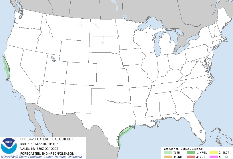
...NO SEVERE THUNDERSTORM AREAS FORECAST...
...SUMMARY...
Isolated thunderstorms will be possible along the Texas and central
California coasts.
...Synopsis...
A weak midlevel trough will continue to drift eastward near the
northwest Gulf coast. Though the weakly unstable warm sector and
the majority of the deep convection remains offshore, weak midlevel
buoyancy does extend inland over the TX coastal plain per the 12z
sounding at Corpus Christi. Low-level warm advection should
maintain some weak midlevel convection, and the potential for
isolated lightning strikes, through early afternoon.
Otherwise, an upstream shortwave trough is progressing
east-southeastward toward CA. Low-topped convection accompanies the
midlevel thermal trough per satellite imagery, and a few lightning
flashes have been detected off the central CA coast as of 16z. Weak
surface-based buoyancy will reach the immediate central CA coast
later today in conjunction with the steeper low-midlevel lapse
rates, though thunderstorm coverage should remain isolated, at best.
..Thompson/Gleason.. 01/19/2018
CLICK TO GET WUUS01 PTSDY1 PRODUCT
NOTE: THE NEXT DAY 1 OUTLOOK IS SCHEDULED BY 2000Z
|