Probability of a tornado within 25 miles of a point. Hatched Area: 10% or greater probability of EF2 - EF5 tornadoes within 25 miles of a point.
Day 1 Tornado Risk
Area (sq. mi.)
Area Pop.
Some Larger Population Centers in Risk Area
No Risk Areas Forecast
Probabilistic Damaging Wind Graphic
Probability of damaging thunderstorm winds or wind gusts of 50 knots or higher within 25 miles of a point. Hatched Area: 10% of greater probability of wind gusts 65 knots or greater within 25 miles of a point.
Day 1 Wind Risk
Area (sq. mi.)
Area Pop.
Some Larger Population Centers in Risk Area
No Risk Areas Forecast
Probabilistic Large Hail Graphic
Probability of hail 1" or larger within 25 miles of a point. Hatched Area: 10% or greater probability of hail 2" or larger within 25 miles of a point.
Day 1 Hail Risk
Area (sq. mi.)
Area Pop.
Some Larger Population Centers in Risk Area
No Risk Areas Forecast
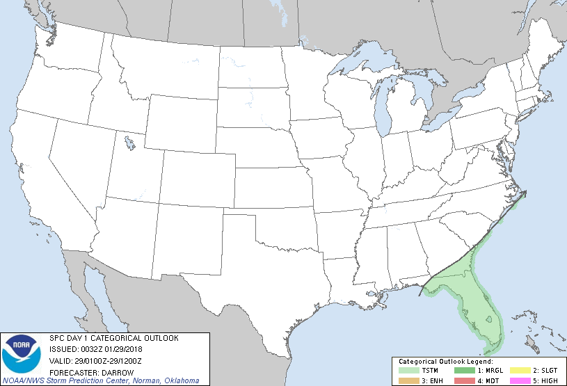
   SPC AC 290032

   Day 1 Convective Outlook
   NWS Storm Prediction Center Norman OK
   0632 PM CST Sun Jan 28 2018

   Valid 290100Z - 291200Z

   ...NO SEVERE THUNDERSTORM AREAS FORECAST...

   ...SUMMARY...
   Isolated thunderstorms are expected across Florida and adjacent
   portions of the Southeast tonight.

   ...Southeast...

   Little change is warranted to 20z outlook.

   Southern-stream disturbance is progressing across the eastern Gulf
   basin with a notable corridor of deep convection evident from the
   western tip of Cuba to the central FL Peninsula. Greatest
   concentration of lightning remains offshore though isolated storms
   are embedded within the larger precip shield over central FL. With
   minimal buoyancy observed across the region the prospect for
   lightning will remain somewhat low but enough to warrant 10% thunder
   probs across the moist warm sector. Late tonight weak surface low
   should develop off the northern FL coast and lift northeast toward
   the Carolinas but remaining offshore. Isolated thunderstorms may
   approach coastal portions as warm advection increases into this
   region.

   ..Darrow.. 01/29/2018

   CLICK TO GET WUUS01 PTSDY1 PRODUCT

   NOTE: THE NEXT DAY 1 OUTLOOK IS SCHEDULED BY 0600Z